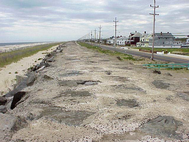
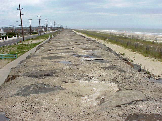
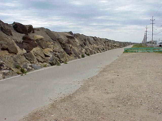
North Sea Bright is a short drive south from Sandy Hook. This tiny
town is the most eastern point of New Jersey and is located on a very
narrow strip of a barrier island. The mouth of the Navesink River empties
into the bayside of the island and contributes to frequent flooding.
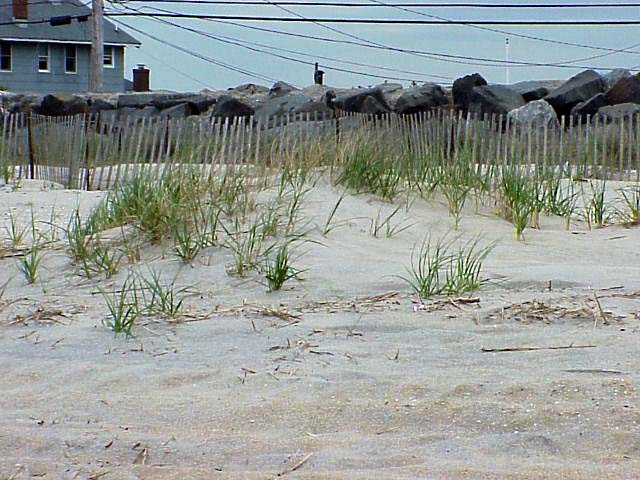
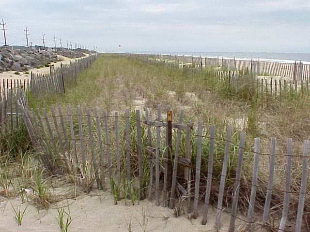
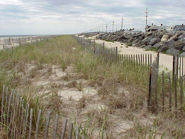
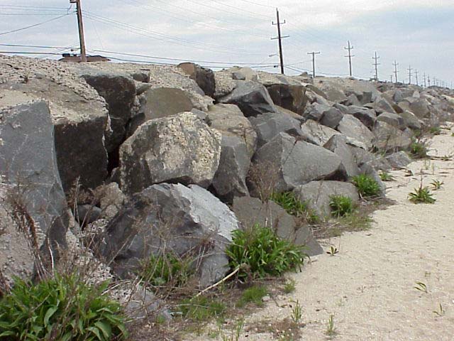
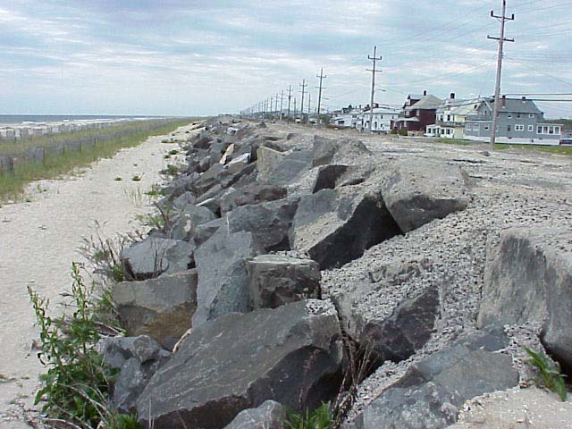
The city owes its very existence to a low seawall that protects it
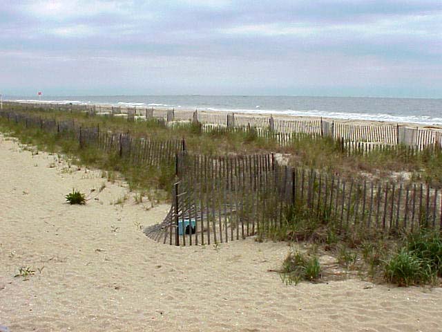
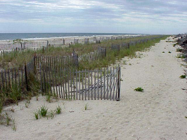
from high tides and small storms. Many groins are found here. Sand dunes
have been created by fences. Grass plantings on the dunes have helped
to retain beach sand.
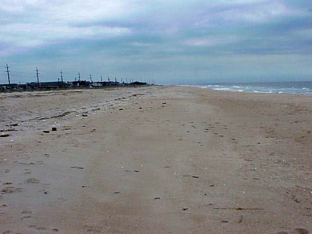
In the northern New Jersey coast, littoral drift flows from south to
north. Protective measures taken south of this location has resulted
in starving North Sea Bright beaches of sand.
Click on a thumbnail photo to view a full screen image.
![[Next]](../../images/more.gif) Avon by the Sea/Belmar | Barnegat
Lighthouse | Holgate | IMCS
Rutgers | Liberty Island | North
Sea Bright | Sandy Hook
Avon by the Sea/Belmar | Barnegat
Lighthouse | Holgate | IMCS
Rutgers | Liberty Island | North
Sea Bright | Sandy Hook
Sandy Hook to Holgate | Atlantic City to Cape May
![[Coast Exp logo]](../../images/celogo.jpg)