40 10' 21 N
110 29' 34 W
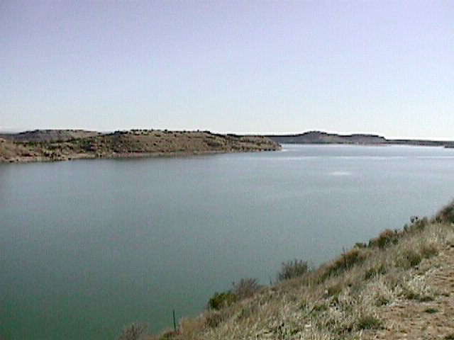
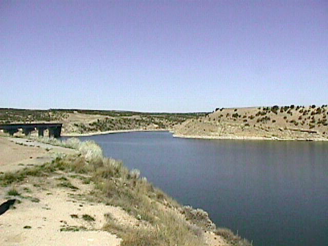
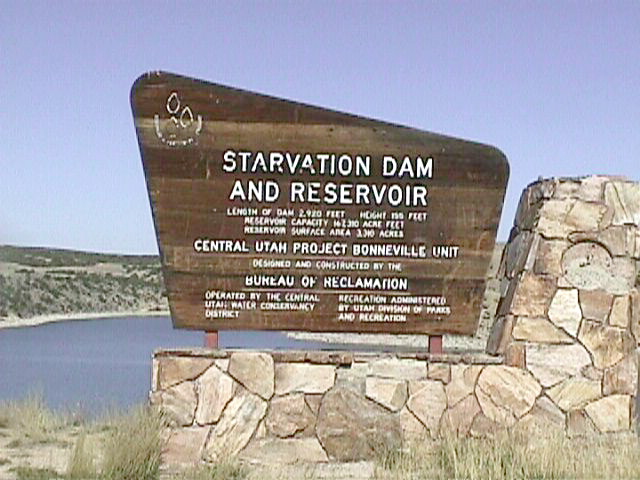
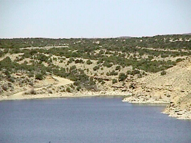
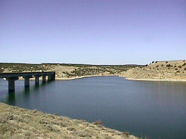
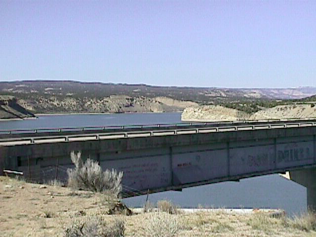
The Starvation Reservoir is part of the Central Utah Project. This
project was set up to manage the water supply in Utah. The reason for
the project was to provide water from the Colorado River Basin to the
Bonneville Basin, which includes the Wasatch Front and areas south of
the front. Most of the population of Utah lives in the southern region
where the farmland is good. Farming requires large amounts of water.
The original plan for the Central Utah Project included the creation
of ten new reservoirs, the enlargement of two existing reservoirs, and
many miles of tunnels and canals for transporting water. The reservoirs
serve as places to collect and store water. The water can then be used
to supply irrigation for farms, water for industrial needs, and hydroelectric
power.
 Panorama (679 K)
Click on a thumbnail photo to view a full screen image.
Antelope Island
| Kennecott Copper Mine | Strawberry
Dam & Reservoir | Fruitland
Scenic Overlook | Starvation
Dam & Reservoir | Dinosaur
National Monument | Drive Through
the Ages | Flaming Gorge
Northern Utah
| Southwest Utah | Southeast
Utah