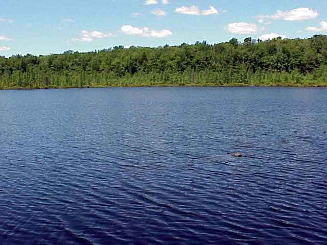
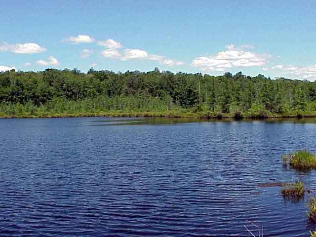
41 15' 84 N
75 25' 24 W
The Lehigh River begins its journey in a sequence of glacial marshes
and bogs in the Gouldsboro, Pennsylvania area. This area is part of
the Glaciated Pocono Plateau Section of the Appalachian Plateau Province.
The elevation at the headwaters of the river is about 2,200 feet above
sea level. During its 103-mile journey to the Delaware River, the elevation
of the river drops nearly 1,000 feet.
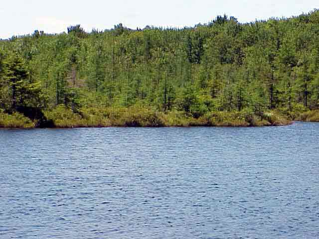
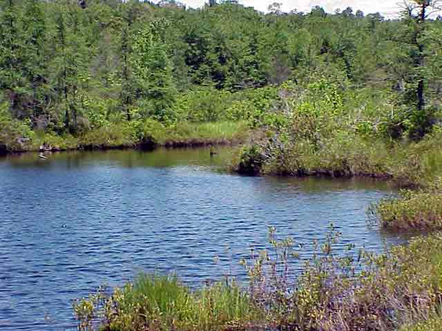
The river serves as a boundary for most of the counties in the watershed.
It flows through a number of state parks and recreation areas. The river
also contains a variety of different geologic formations. The unique
characteristics of the river’s geology and history are explored
throughout this photojournal.
View in Google Earth
Click on a thumbnail photo to view a full screen image.
 Panorama 1 (Taken at 41 15' 84 N, 75 25' 24 W) (650 K)
Video Clip 1 (1.4 MB)