[ Main ] Educator's Guide
Outreach Initiatives
[ Site Map ]
Geology | Lehigh River Watershed Explorations | Weather | Environmental Issues | Data Collection Activities


Lehigh Falls (Old Mills)
41 07' 75 N
75 37' 65 W

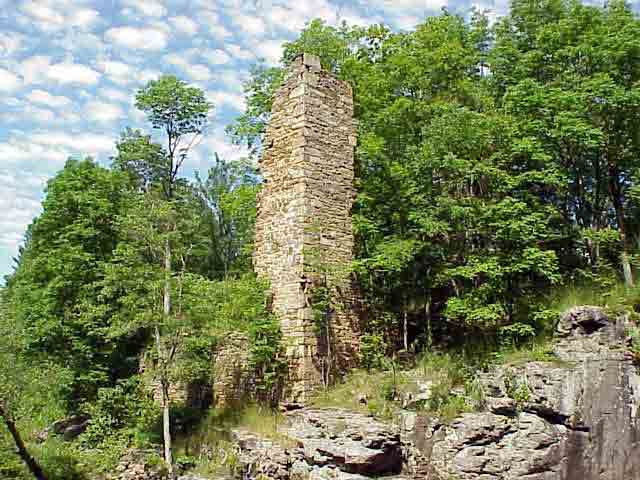
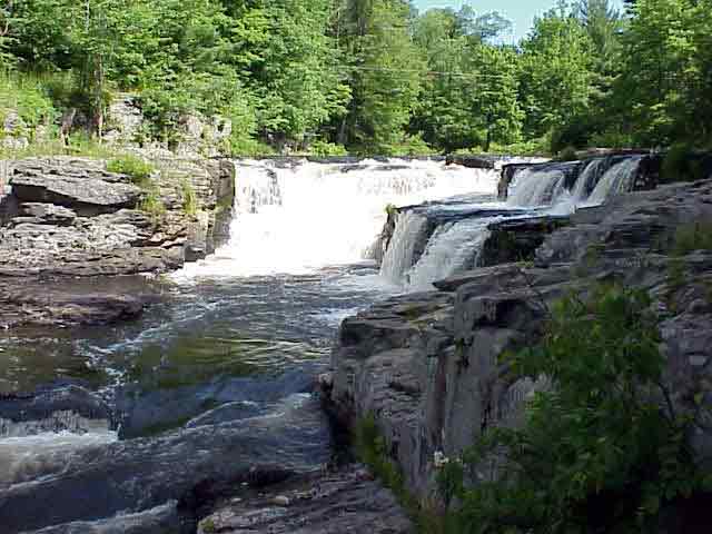
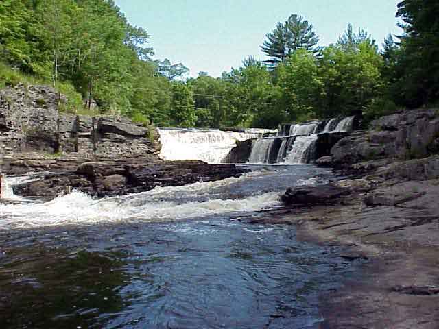
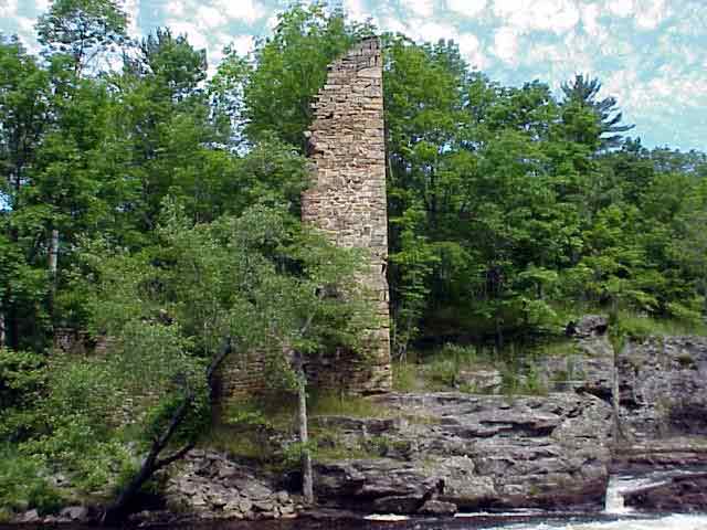
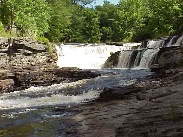
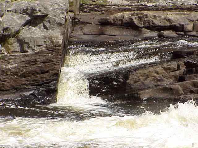
Lehigh Falls is the site of one of the first planned industrial villages that was masterminded by John Stoddard. This magnificent site is hidden 
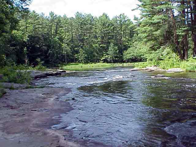
in the reaches of the river above Francis E. Walter Dam. The land on either side of the river is privately owned, making access to the falls 
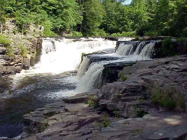
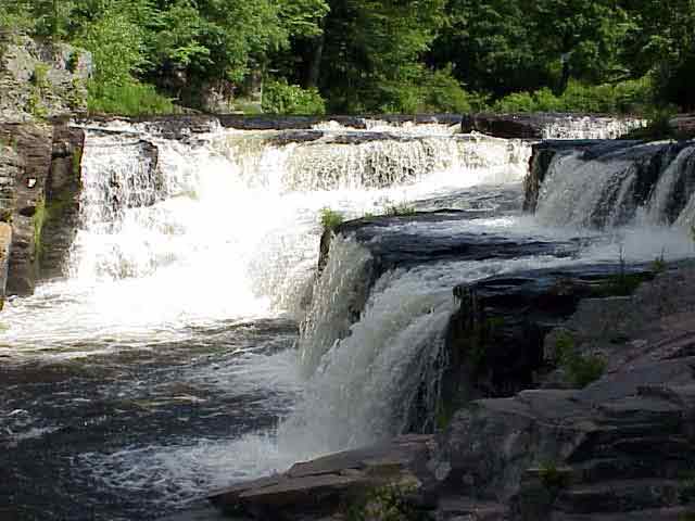
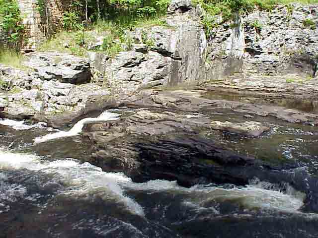
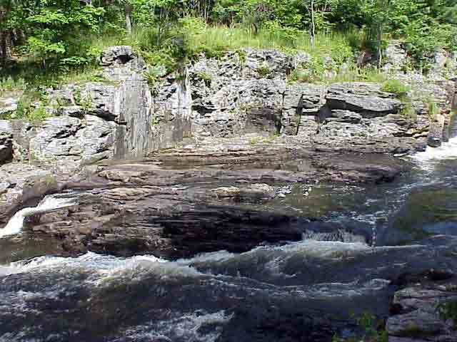
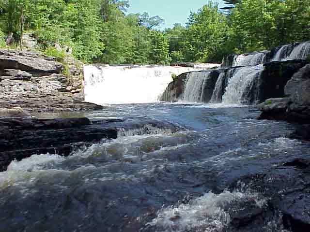
limited. The Devonian shale, limestone, and sandstone of the area provide layered surfaces over which the waters of the Lehigh gracefully flow.

View in Google Earth

Click on a thumbnail photo to view a full screen image.

Video Clip 1 (1.4 MB)


Headwaters to Lehigh Gorge | Jim Thorpe to Walnutport | Triechler's to Allentown | Bethlehem to Easton

Curricular Activities | Lehigh River Photojournal | Water Quality | GIS | History | River Exploration | Fast Facts
LEO EnviroSci Inquiry is brought to you by the Lehigh Environmental Initiative at Lehigh University.
Copyright ©2000-2011 Lehigh Environmental Initiative at Lehigh University. All rights reserved.