41 06' 03 N
75 43' 19 W
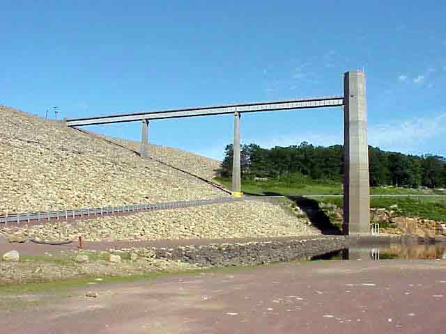
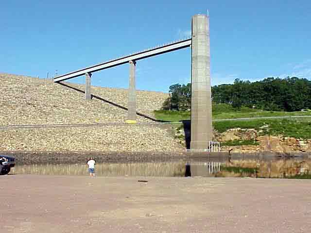
The Francis E. Walter Dam was dedicated in 1961. It was constructed
and is maintained by the Army Corps of Engineers. It is located in Luzerne
County and stands at 1509 feet above sea level.
Prior to construction of the dam, the river level would continually
rise each spring as a result of melting snow and spring rain. These
freshets, as they are called, would cause severe flood damage. Bridges
and dams were destroyed along the river each year. The dam was built
to control these devastating floods and prevent seawater from entering
the drinking water supplies in the Philadelphia area. The dam provides
a water storage location for summer drought as well as recreational
opportunities.
View in Google Earth
 Panorama 1 (Taken at 41 06' 03 N, 75 43' 19 W) (650 K)
Video Clip 1 (1.4 MB)
Click on a thumbnail photo to view a full screen image.