40 43' 78 N
75 32' 47 W
The canal system was built along the Lehigh River to allow canal boats
to navigate from Jim Thorpe to Easton as easily as possible. Some sections
of the river were passable by canal boat. Therefore, the canal was built
only in areas where the river was impassable. The canal system contains
a series of entrance and exit locks in and out of the river.
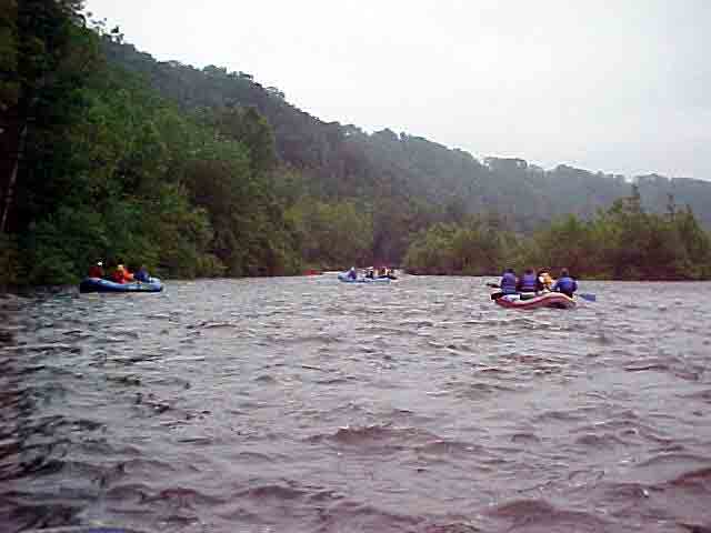
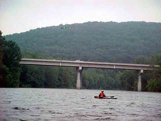
The section of river upstream of the Route 145 Bridge is a good example
of the entrance and exit lock system. Lock 27 in Lockport allowed canal
boats to leave the canal and enter the river. The boats were still pulled
by mules along the towpath, but the river was calm enough that a canal
was not necessary. Just above the Route 145 Bridge, the canal begins
again at Dam 4. This was an entrance dam, allowing passage into the
canal and around the unnavigable waters of the river.
View in Google Earth
Click on a thumbnail photo to view a full screen image.