40 47' 34 N
75 36' 61 W
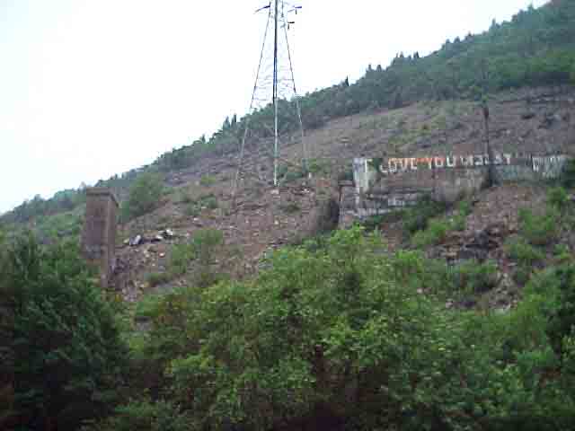
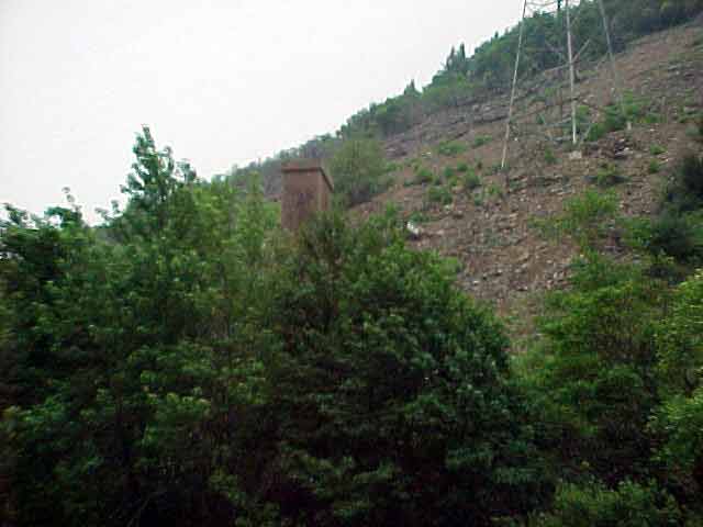
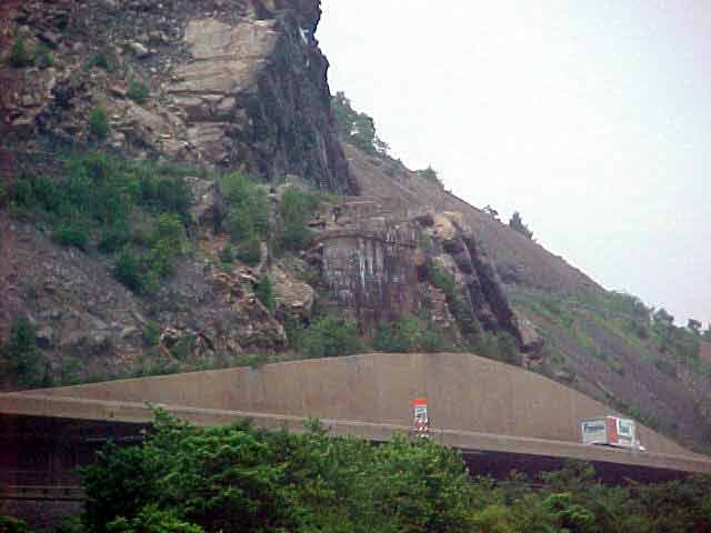
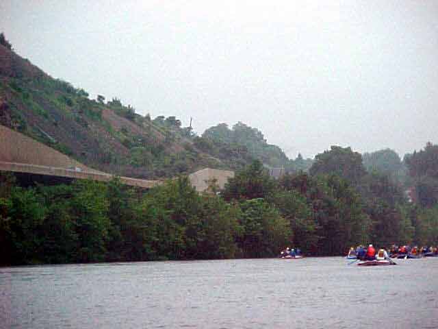
The Lehigh Water Gap was formed by the constant carving and eroding
of Blue Mountain by the Lehigh River. The Lehigh Water Gap has a host
of interesting legends and stories that explain its formation. Geologic
evidence indicates that the waters of the Lehigh River flowed over the
upper elevations of Blue Mountain. The dominant shale and sandstone
of the region can be found on the exposed surface of Blue Mountain on
both sides of the river. The Lehigh gap was visited by the world famous
birdwatcher, John James Audubon, in 1829. In 1842, the father of modern
geology, Sir Charles Lyell, also explored the area.
View in Google
Earth
Click on a thumbnail photo to view a full screen image.