40 41' 07 N
75 13' 10 W
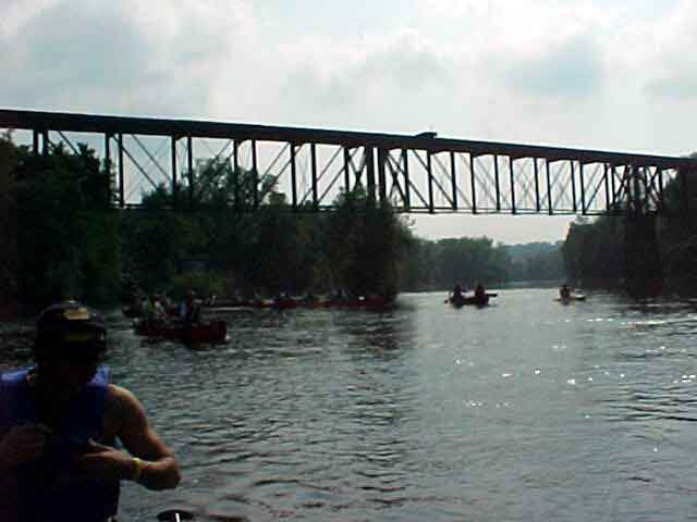
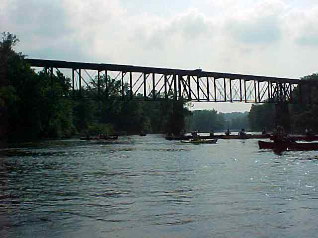
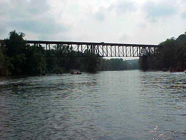
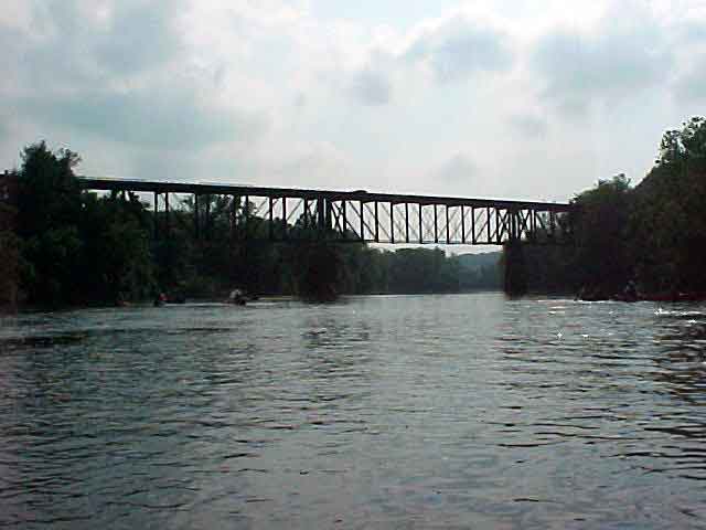
The Lehigh River ends its 113 mile journey from the headwaters in Gouldsboro
in Easton, where it meets the Delaware River. This location was named
“forks of the Delaware” by the Lenape Indians. The original
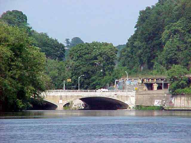
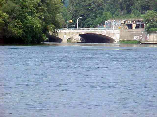
14 foot Easton Dam had an outlet lock on the southern end to allow boats
to enter the river from the canal and continue their passage across
the Delaware into the Morris canal. From there, the boats would continue
to markets in New York. The concrete dam that has since replaced the
old stone and wood crib dam is 25 feet high.
Easton is part of the Lehigh Valley sequence of the Great Valley section.
It consists of carbonate rock.
View in Google Earth
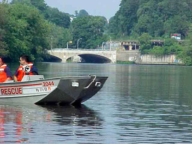
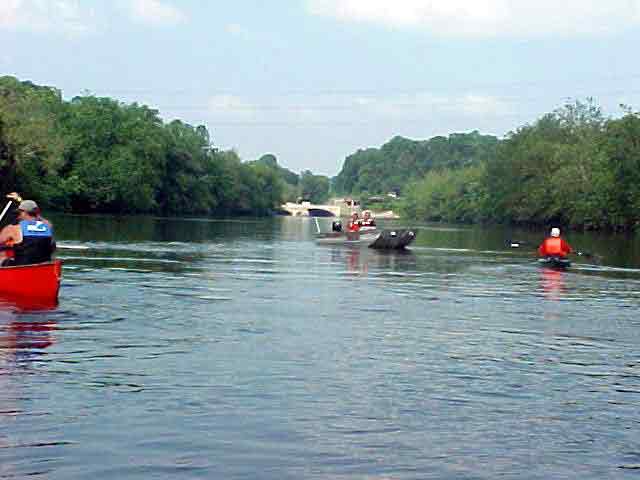
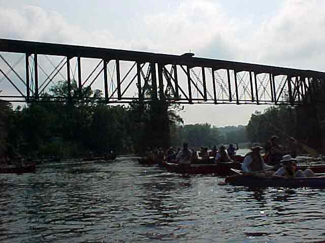
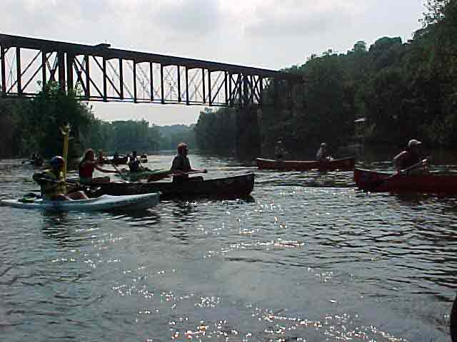
Click on a thumbnail photo to view a full screen image.