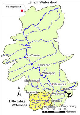
This case study investigates how we can record land use change within the Little Lehigh Creek watershed. The adjacent figure is called an index map. It’s provided to help you recognize where the study area (in yellow) is located. The Little Lehigh Creek watershed is located within the much larger Lehigh River watershed; we’ll be looking at that later. The cartoon eyeball near Bethlehem shows the perspective of the photo below.  |
 | (Page 3 of 9) |  |