GPS Geodesy
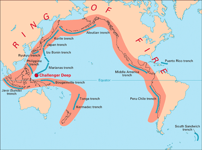
Geodesy and the Pacific Ring of Fire
Geologists compare receiver measurements to interpret crustal movement.
For example, the separations between GPS sites around the Pacific Basin are
measured regularly to understand geologic events in the Pacific Ring of Fire.
|
|
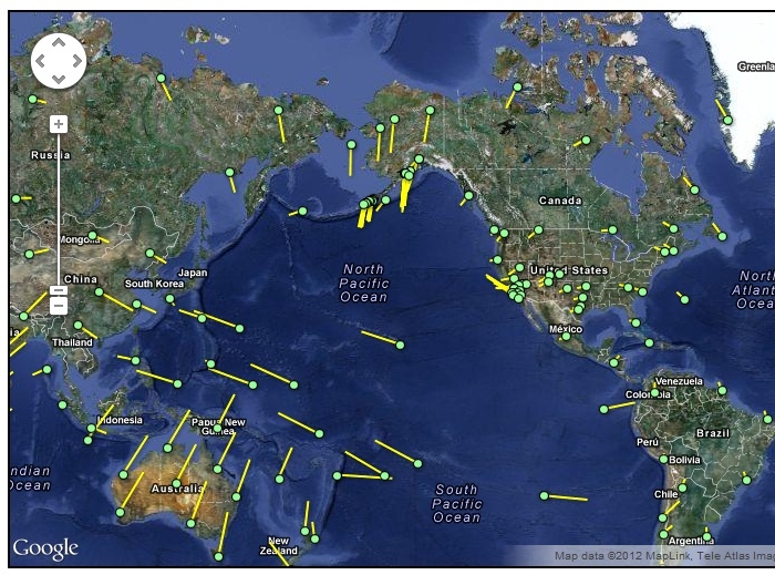
| By monitoring the interaction between the Pacific Plate and the surrounding, largely continental plates, scientists hope to learn more about the events building up to earthquakes and volcanic eruptions in the Pacific Ring of Fire. | In this map, each of the green circles represents the current position of a receiver. The yellow line indicates how that receiver has moved over time. Longer lines represent more movement. |
