37 13' 49 N
112 52' 43 W
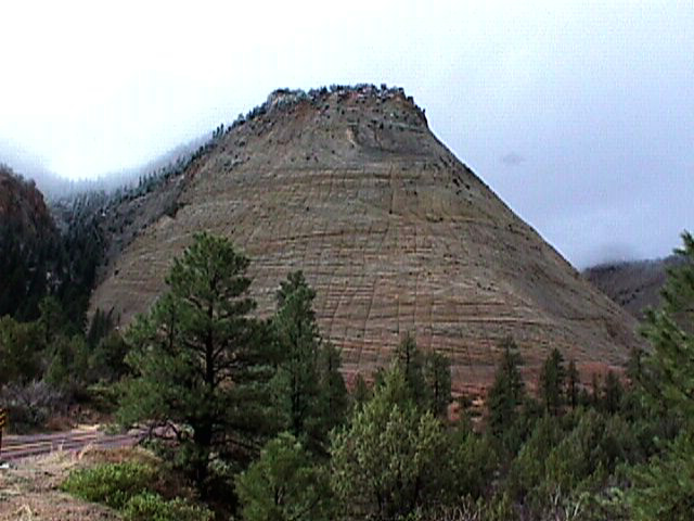
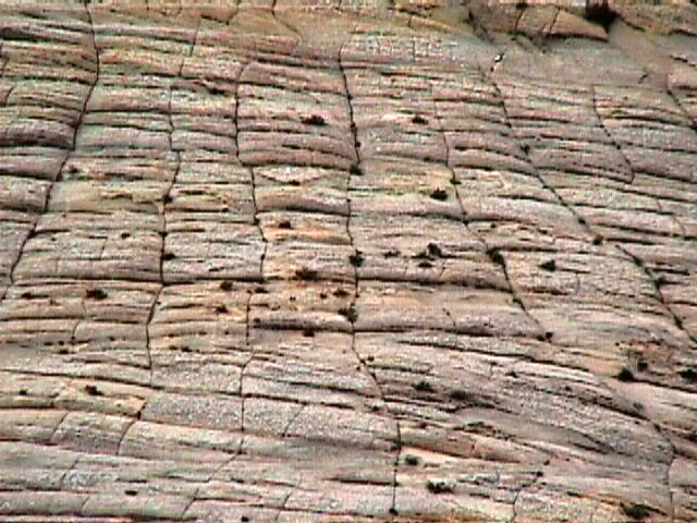
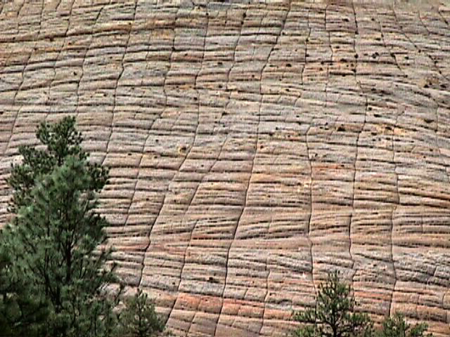
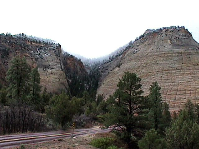
The checkerboard mesa stands at the east entrance of the park. The
imperfect horizontal and vertical lines have been created by weathering
and erosion. The formation is carved from the upper portion of the Navajo
Formation.
The checkerboard pattern is found in a few other places throughout
the park, always on the North facing sides of the slope. There is clearly
a relationship between the long periods of exposure to snow and ice
on the North slopes and the development of the shallow cracks, which
create the checkerboard design. Expansion and contraction occurs as
the rock formation freezes and thaws, causing shallow cracks. The cracks
are made larger by continued erosion from runoff, rain and melting snow.
 Panorama (631 K)
Click on a thumbnail photo to view a full screen image.
![[Previous]](../../../images/back.gif)
![[Geo Exp logo]](../../../images/gelogic_banner.jpg)
Zion
| Red Canyon | Bryce
Canyon | Highway 12 Scenic
Byway |
Northern Utah
| Southwest Utah
| Southeast Utah