40 57' 78 N
75 45' 41 W
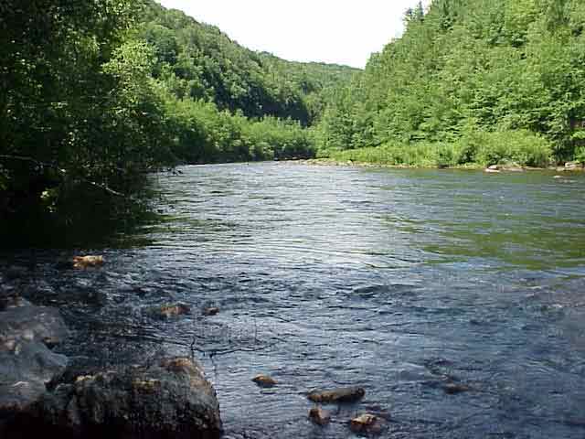
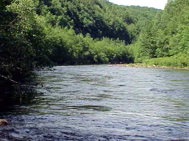
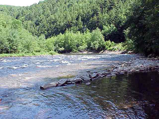
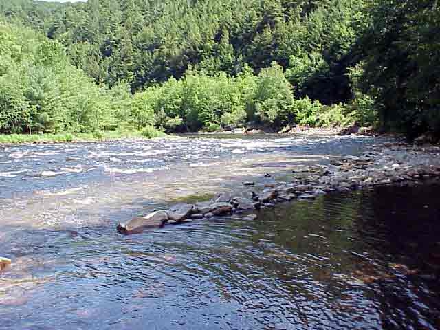
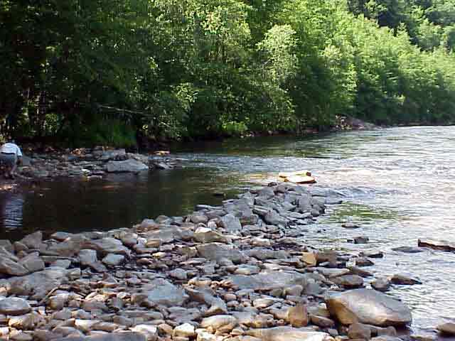
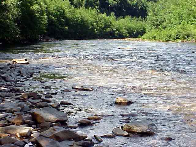
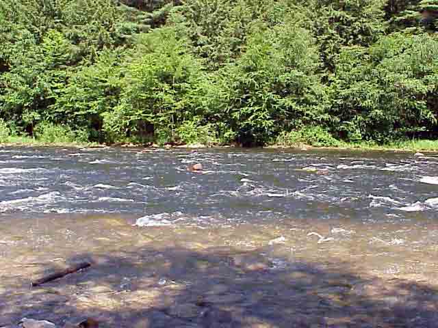
Rockport sits 13 miles above Mauch Chunk. It was founded in 1836 by
Mr. F.A. Foster after a discovery of coal in the region. From Rockport,
coal was transported to market via the canal and river system. Rockport
access is the midpoint of the 26 mile Lehigh Gorge State Park. The trail
that goes through this state park is the Deleware & Lehigh National
Heritage Corridor Trail. This state park is renown for its white water
rafting and recreational activities.
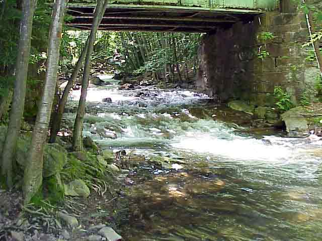
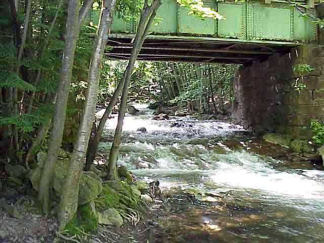
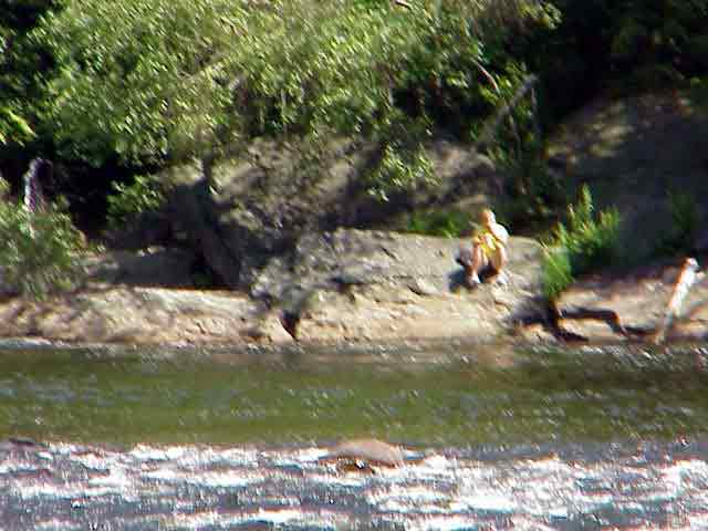
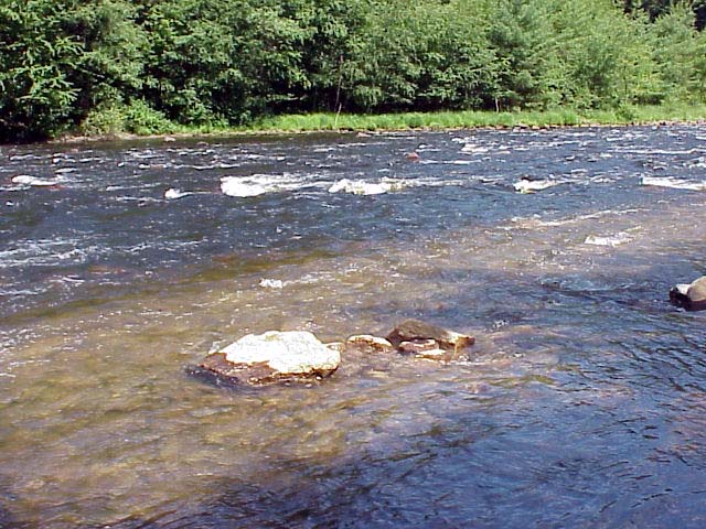
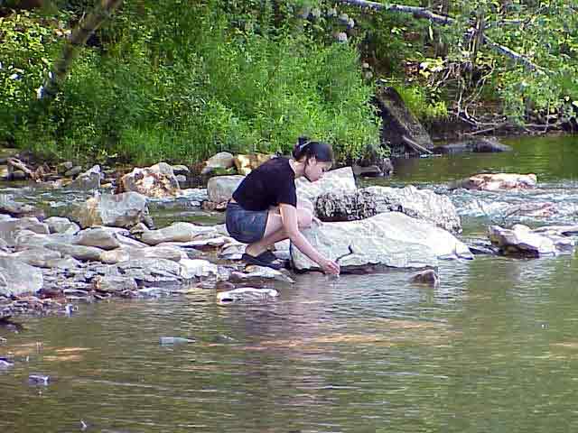
Buck Mountain Creek (Indian Run) is one of four tributaries containing
mine drainage entering into the Lehigh River.
View in Google Earth
 Video Clip 1 (1.4 MB)
Click on a thumbnail photo to view a full screen image.