[ Main ] Educator's Guide
Outreach Initiatives
[ Site Map ]
Geology | Lehigh River Watershed Explorations | Weather | Environmental Issues | Data Collection Activities
 
Martinburg Shale Formation
40 43' 26 N
75 33' 27 W

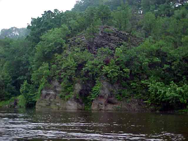
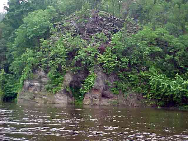
The Martinsburg formation consists of shales, sandstones, and slates. It extends along the base of the Appalachian Valley from the Hudson Valley to Tennessee. In the Lehigh Valley, the average surface elevation of the rocks is between 700 and 800 feet above sea level. Rivers and streams have carved away at the formation, creating steep valleys. The Lehigh River flows between the high cliffs of the Martinsburg formation. The cliffs on both sides of the river provide spectacular views.

View in Google Earth

Click on a thumbnail photo to view a full screen image.


Headwaters to Lehigh Gorge | Jim Thorpe to Walnutport | Triechler's to Allentown | Bethlehem to Easton

Curricular Activities | Lehigh River Photojournal | Water Quality | GIS | History | River Exploration | Fast Facts
LEO EnviroSci Inquiry is brought to you by the Lehigh Environmental Initiative at Lehigh University.
Copyright ©2000-2011 Lehigh Environmental Initiative at Lehigh University. All rights reserved.