|
|
|||||||
|
|
|||||||
| [ Main ] | Educator's Guide | ||||||
|
||||||||||||||||||||||||||||
40 44' 00 N |
||||||||||||||||||||||||||||
|
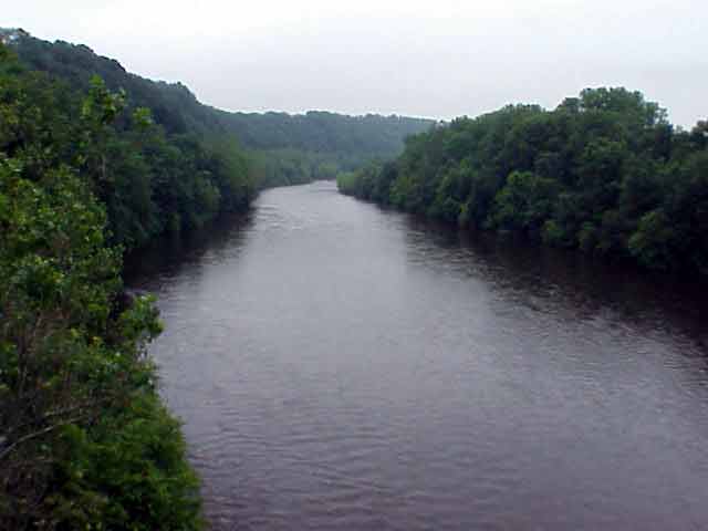
Headwaters
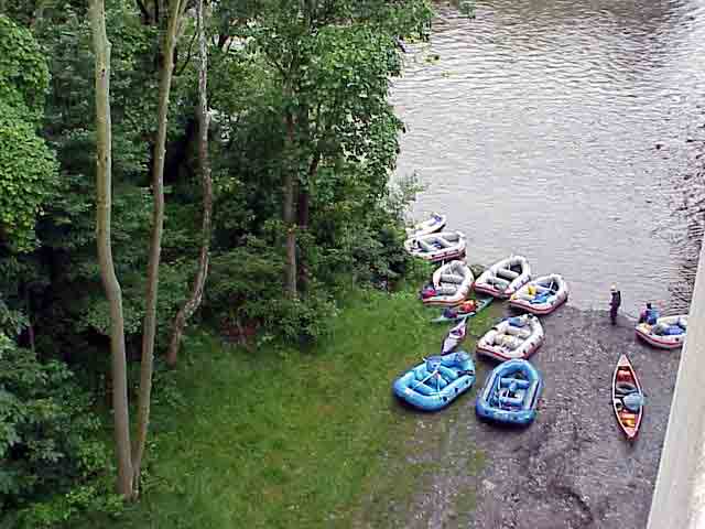
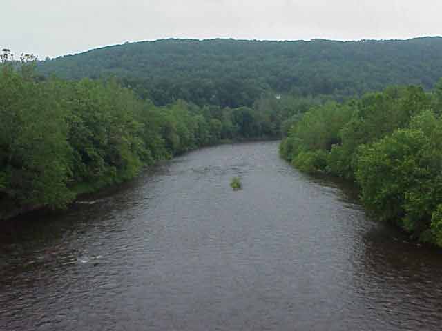
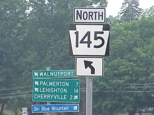
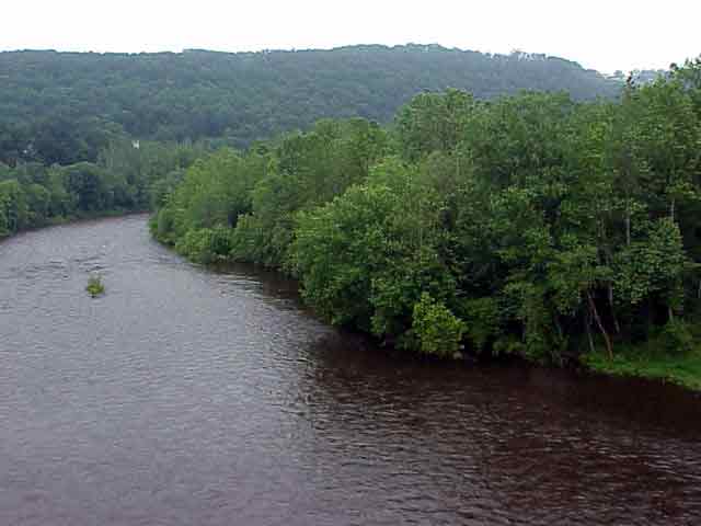
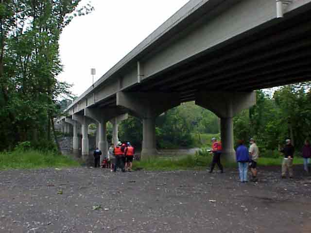
to Lehigh Gorge | Jim
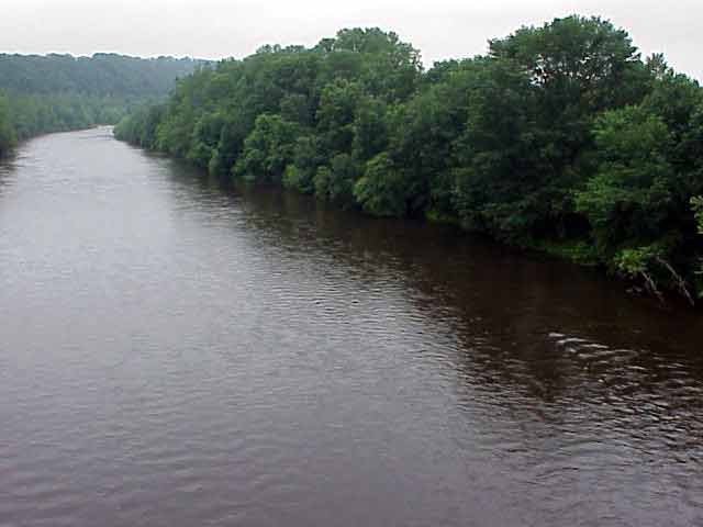
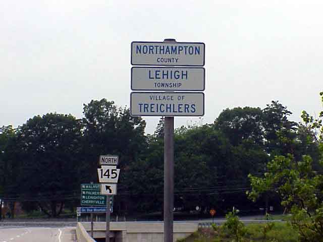
Thorpe to Walnutport | Triechler's
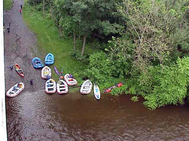
to Allentown | Bethlehem
to Easton
|
|
LEO EnviroSci Inquiry is brought to you by the Lehigh Environmental Initiative at Lehigh University.
Copyright ©2000-2011 Lehigh Environmental Initiative at Lehigh University. All rights reserved. |