40 35' 93 N
75 26' 84 W
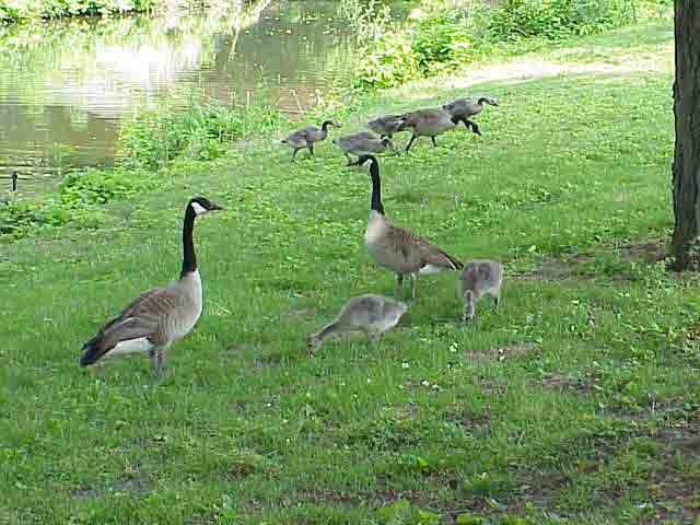
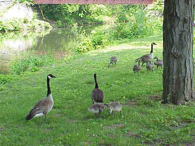
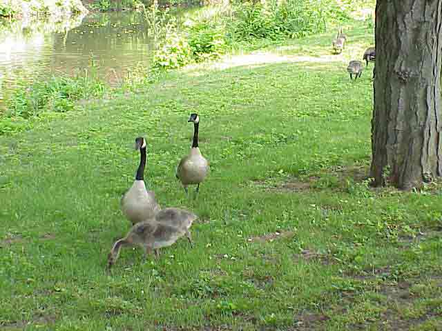
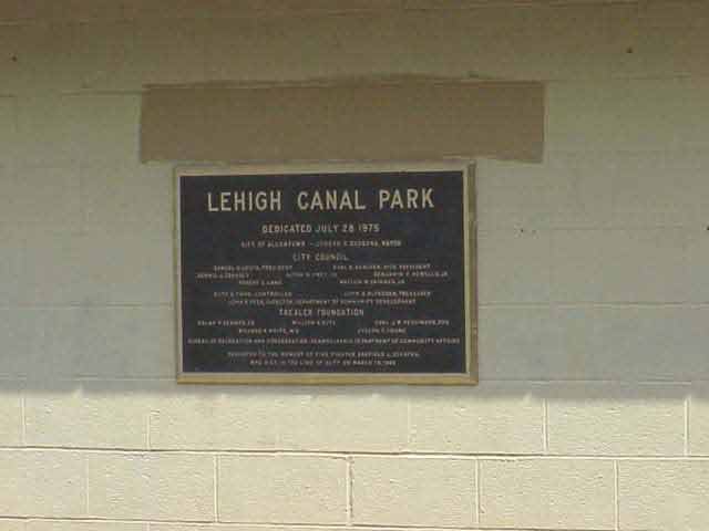
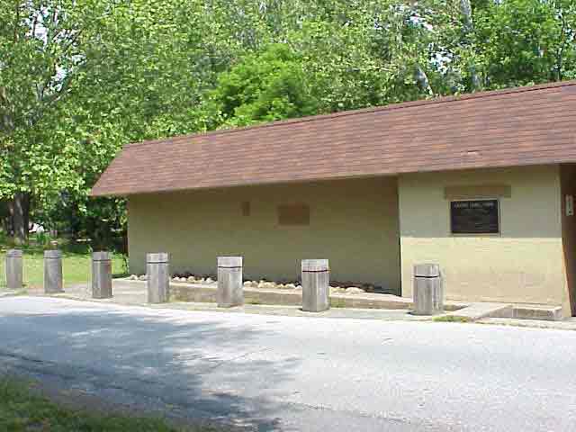
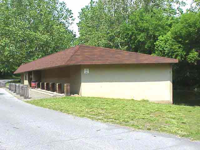
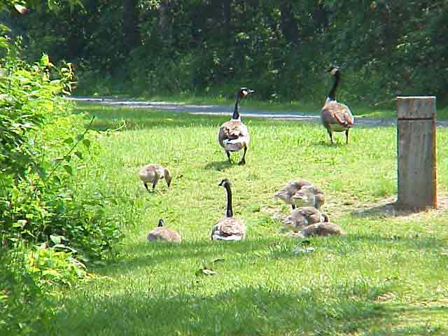
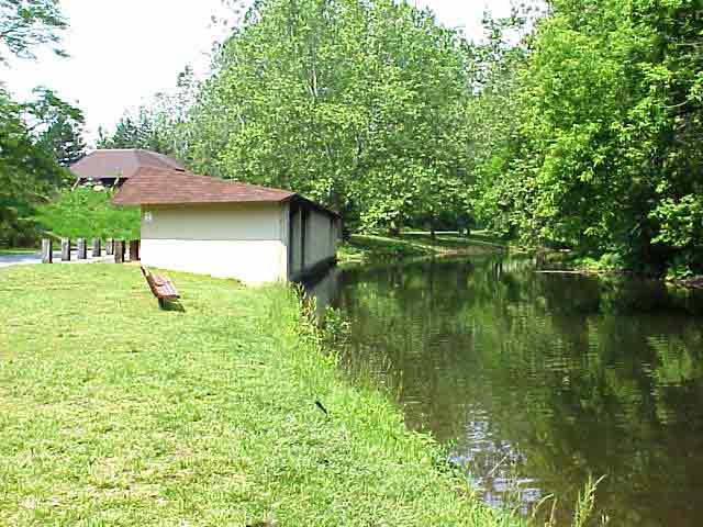
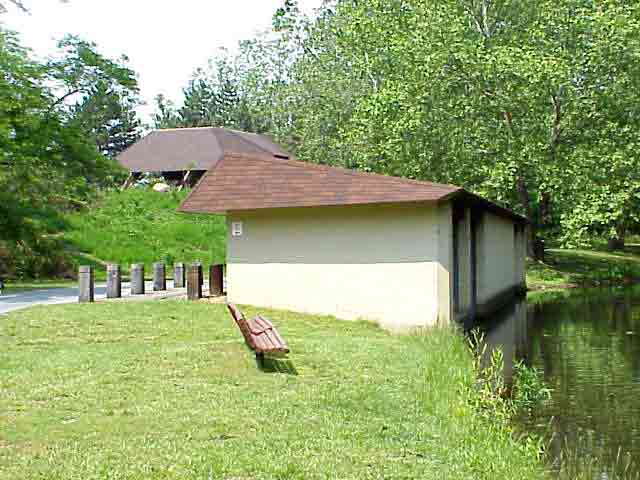
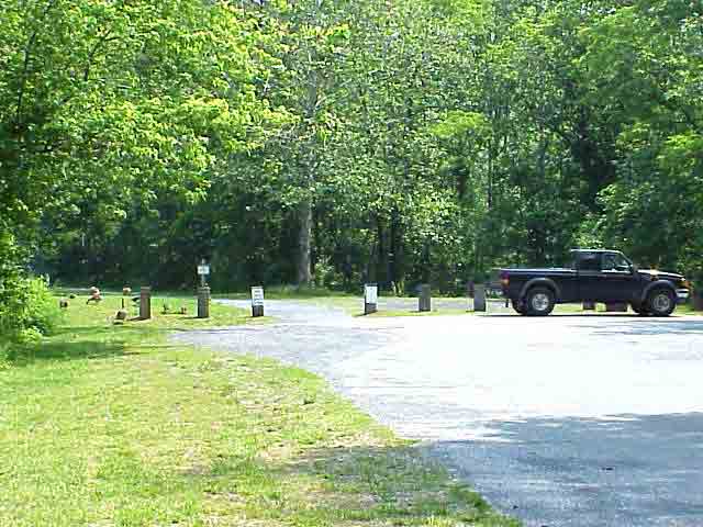
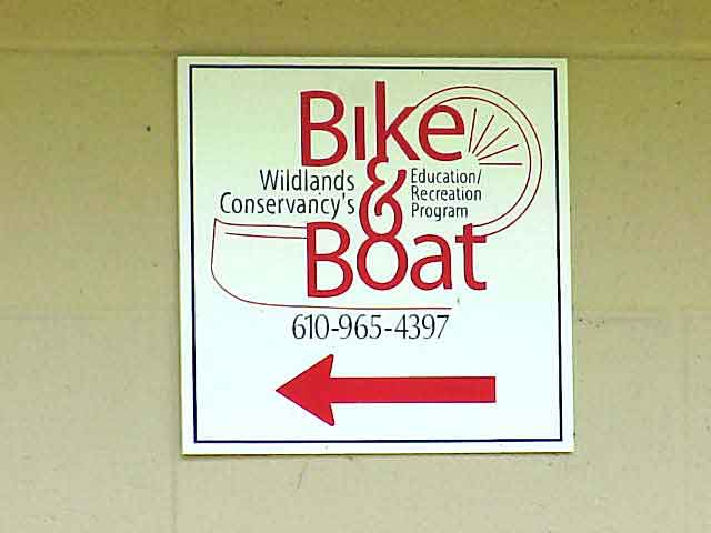
Canal Park sits between the canal and the river in downtown Allentown.
The towpath runs through the park and continues to Easton. The City
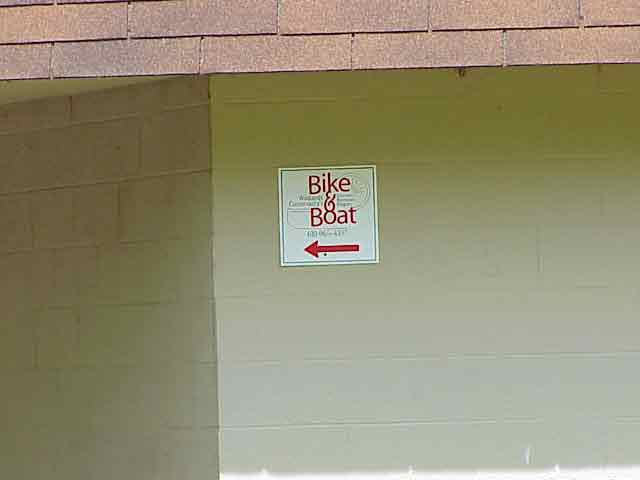
of Allentown owns the park and Wildlands Conservancy of Emmaus runs
their recreational and educational Bike and Boat program from the park’s
boathouse.
View in Google
Earth
 Panorama
1 (Taken at 40 35' 90 N, 75 26' 84 W) (532 K)
Panorama
1 (Taken at 40 35' 90 N, 75 26' 84 W) (532 K)
Panorama
2 (Taken at 40 35' 90 N, 75 25' 84 W) (572 K)
Click on a thumbnail photo to view a full screen image.