40 36' 57 N
75 25' 55 W
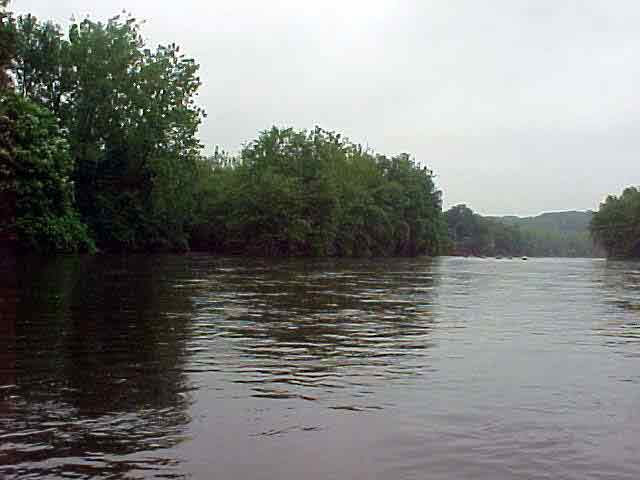
The history of the 12.3 acre Sterner’s Island begins in the 18th
century with Solomon Jennings. Jennings was a participant in the Walking
Purchase of 1737. In 1736, Jennings settled land on both sides of the
Lehigh River with the island in the middle. When Jennings died, he willed
his land to his son John. The land was sold to Jacob Geissenger in 1764
and was farmed for years. The deed recording Jennings’ sale to
Geissenger is one of the earliest recorded deeds in the county. Geissenger
sold the portion of land north of the Lehigh River to John Sterner in
1786. There are a few references that indicate Sterner owned the island,
including maps which label the land “John Sterner Island.”
After Sterner’s death in 1843, his son took ownership of the land
and farmed it until 1865. Two transactions concerning the land on either
side of the river were made after Sterner’s death. However, neither
one mentions the island. Therefore, from the time of John Sterner’s
death until the acquisition of the land by the City of Allentown, Sterner’s
Island was unclaimed and forgotten.
View in Google Earth
Click on a thumbnail photo to view a full screen image.