40 36' 85 N
75 24' 53 W
The need for a bridge connecting Bethlehem to the passage to Philadelphia
was realized in the late eighteenth century. The ferry was no longer
able to accommodate the great numbers of people and goods that traveled
across the river.
In 1794, the first bridge was built across the river. It was a one-lane
bridge constructed from hemlock and stone piers and was completly exposed
to the elements. A toll was collected on the south side. Flooding destroyed
the first bridge and in 1816 a second hemlock and stone pier bridge
was built. Another flood destroyed the second bridge and in 1841, a
larger, two-lane bridge was built. The third bridge was 400 feet long
and had a slate roof. It stood 23 feet above the river’s low water
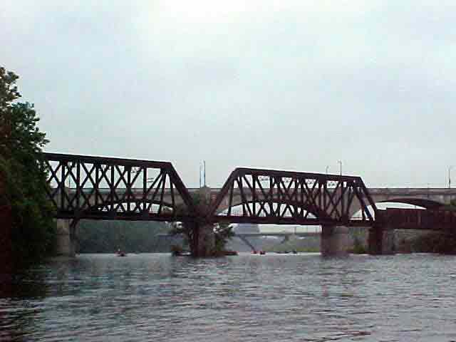
mark to avoid flooding. The railroad consumed the south bank of the
river in 1852 and interfered with bridge traffic. In order to avoid
the many accidents between the trains and bridge traffic, designs are
proposed to build a hill to hill bridge to take traffic away from the
railroad. In 1920, demolition of the covered bridge began and construction
for the new hill to hill bridge commenced. In 1924, the bridge was opened
to the public. It is 6,500 feet long and carries two lanes of traffic
in either direction.
View in Google Earth
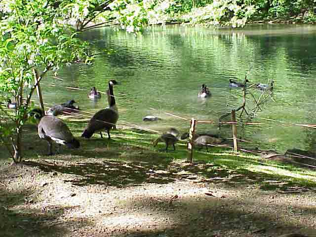
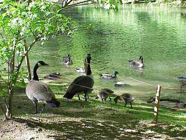
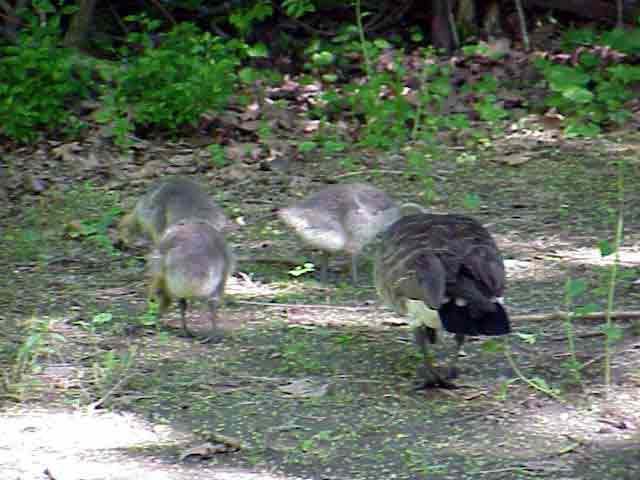
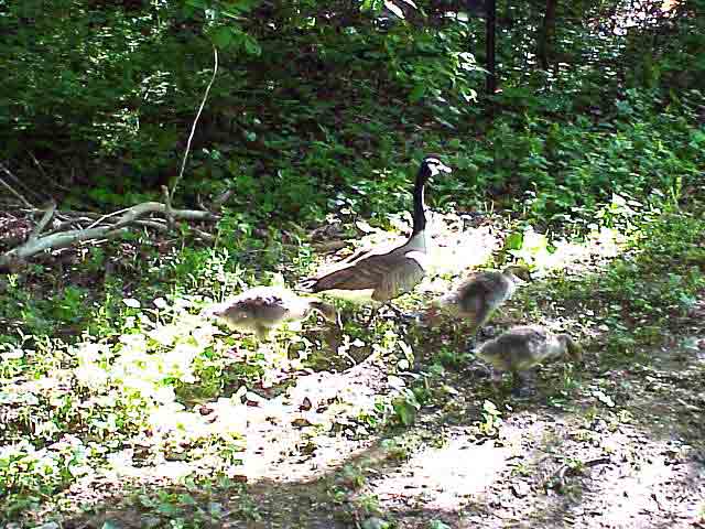
Click on a thumbnail photo to view a full screen image.