[ Main ] Educator's Guide
Outreach Initiatives
[ Site Map ]
Geology | Lehigh River Watershed Explorations | Weather | Environmental Issues | Data Collection Activities
 
Rt. 329 Bridge between Cementon and Northampton
40 41' 48 N
75 30' 37 W

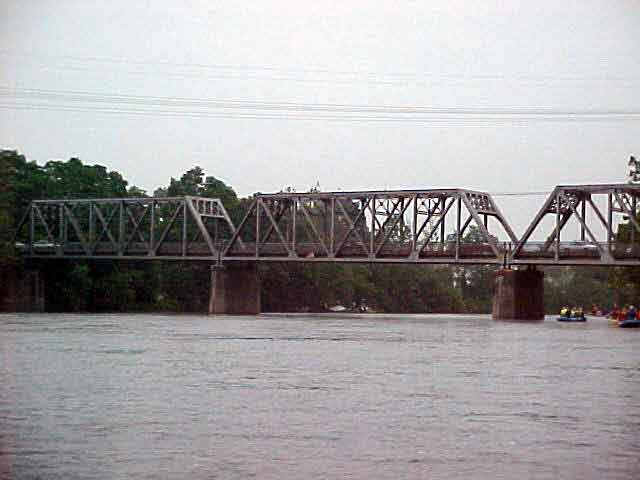
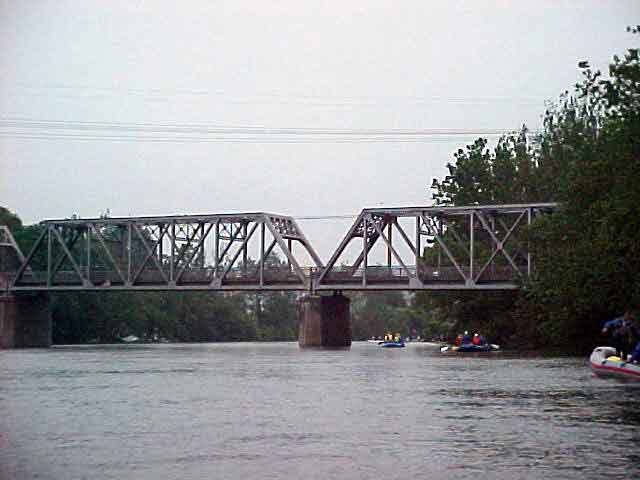
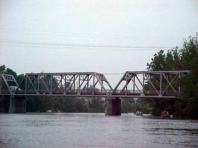
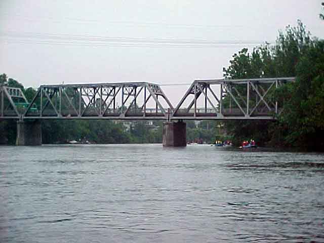
The Route 329 bridge crosses the Lehigh River and connects Northampton on the east and Cementon on the west. Just above the bridge, on the cementon side, remnants of Lock 33 still stand. Below the lock, a modern cement mill is in operation. The ruins of Rock Losk Rosendale Cement Company exist on the east side of the canal. When the company was in operation, they would load their products directly onto canal boats.

View in Google Earth

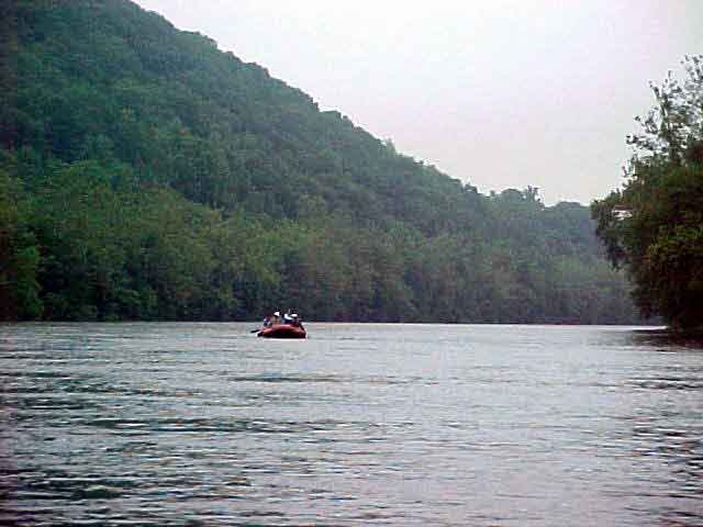
Click on a thumbnail photo to view a full screen image.


Headwaters to Lehigh Gorge | Jim Thorpe to Walnutport | Triechler's to Allentown | Bethlehem to Easton

Curricular Activities | Lehigh River Photojournal | Water Quality | GIS | History | River Exploration | Fast Facts
LEO EnviroSci Inquiry is brought to you by the Lehigh Environmental Initiative at Lehigh University.
Copyright ©2000-2011 Lehigh Environmental Initiative at Lehigh University. All rights reserved.