40 47' 76 N
75 37' 15 W
Prior to 1898, Palmerton was a small logging town. In 1898, the New
Jersey Zinc Company arrived. The company built two zinc smelters along
the Aquashicola Creek and used existing rail lines to transport zinc
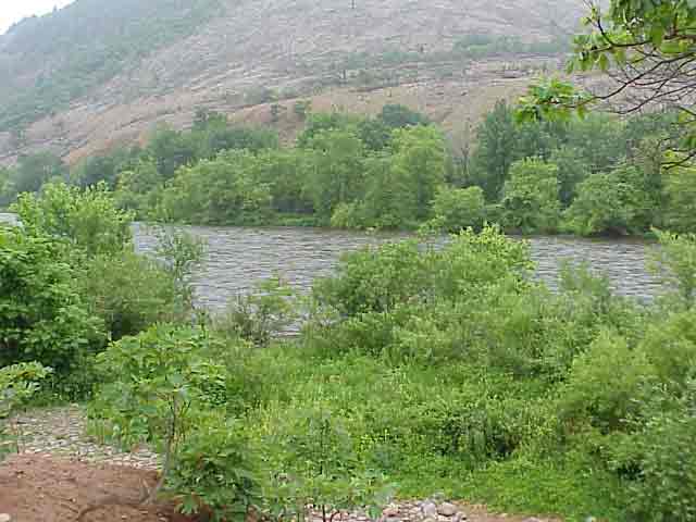
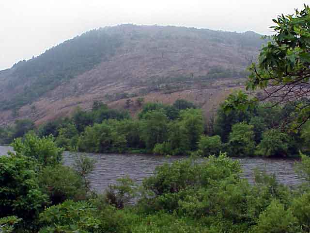
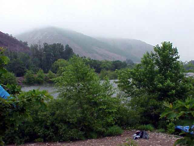
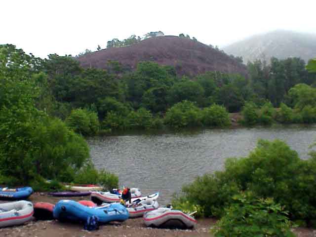
ores from New Jersey. Today, the remnants of 82 years of zinc smelting
are apparent in the barren landscape. Zinc, cadmium, copper, lead, and
sulfur dioxide rained down over the town and the surrounding Blue Mountain
area. The entire face of Blue Mountain was so toxic that it could not
support any life. Even the dead trees did not decay since there were
no microorganisms to complete the decomposition process. Scientific
studies were conducted to assess the damage from the zinc smelting in
Palmerton, including the adverse effects to human and non-human health.
Today, the soil in Palmerton is still full of toxins. However, there
are signs of rejuvenation. As a result of partnership between government
and environmental organizations, efforts to revegetate the mountain
have been successful.
Palmerton is located on the north side of Blue Mountain, just upstream
from the Lehigh Water Gap. The geology of this area is mainly shale.
View in Google Earth
Click on a thumbnail photo to view a full screen image.