Monterey is found at the south end of Monterey Bay, at the north base
of the Monterey Peninsula.
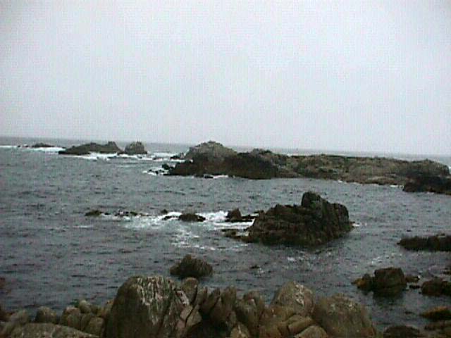
A significant geologic feature in the area is the Monterey Submarine
Canyon which bisects the bay. At 6000 ft deep, the Monterey Submarine
Canyon is one of the deepest and largest underwater canyons in the world.
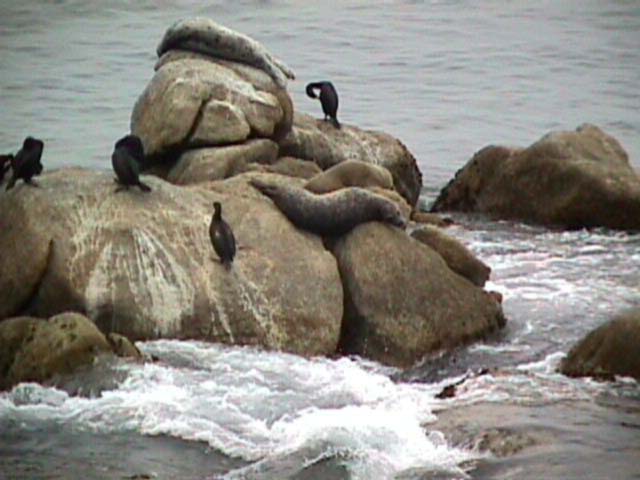
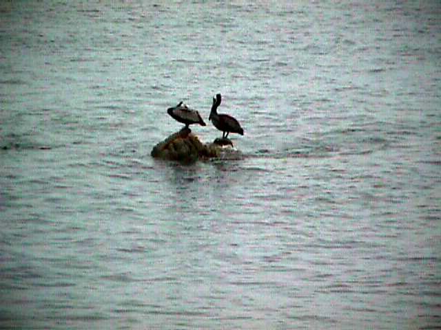
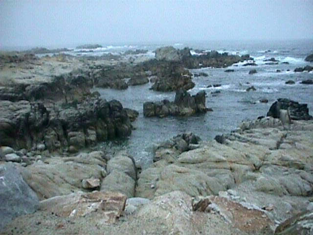
Coldwater upwellings from the canyons provide the bay area with rich
nutrients that attract marine animals including otters, dolphins, whales,
and sea birds.
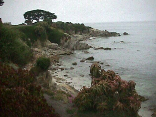
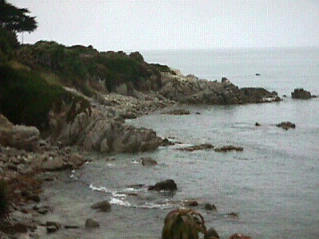
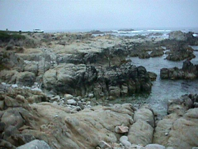
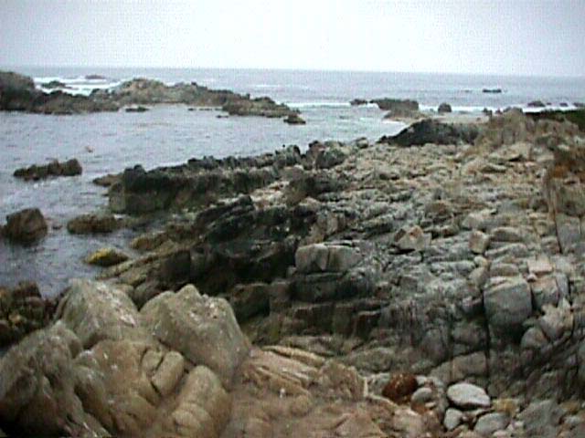
Beaches and dunes are the dominant land features of the area. Dunes
as high as 100 ft flank some of the beaches. Much of the sand was supplied
by the Salinas and Pajaros rivers over thousands of years, and by littoral
drift from the north. Nevertheless, a number of forces deplete the beaches
and dunes of their sand. The dunes migrate inland covering roadways.
Much underwater sand is lost to the Monterey Submarine Canyon. Two sand
mining operations remove more than 350,000 cubic yards of sand each
year from the dunes.
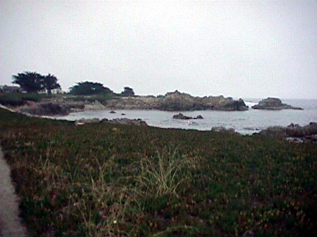
Some are concerned that the reduction in sand supply, in part due to
sand mining, may be causing rapid rates of coastline erosion.
Click on a thumbnail photo to view a full screen image.
![[Next]](../../images/more.gif)
17 Mile Drive |
Alcatraz | Ano
Nuevo | Carmel | Half
Moon Bay | Monterey | Pescadero
| Rockaway Beach | San
Francisco
San Diego Area | Santa
Barbara to Malibu | San
Francisco to Monterey
![[Coast Exp logo]](../../images/celogo.jpg)