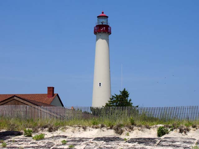
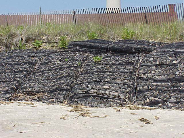
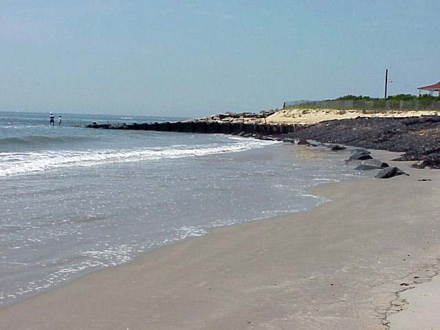
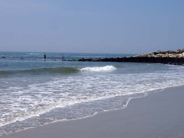
Cape May Point is the southernmost coastal point of New Jersey. Located
here is the Cape May Lighthouse. At the base of the lighthouse, is a
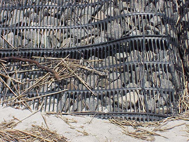
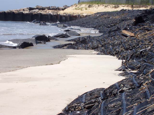
very narrow beach. Piles of rock held together by plastic mesh make
up a rip rap dune structure.
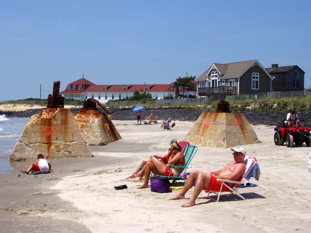
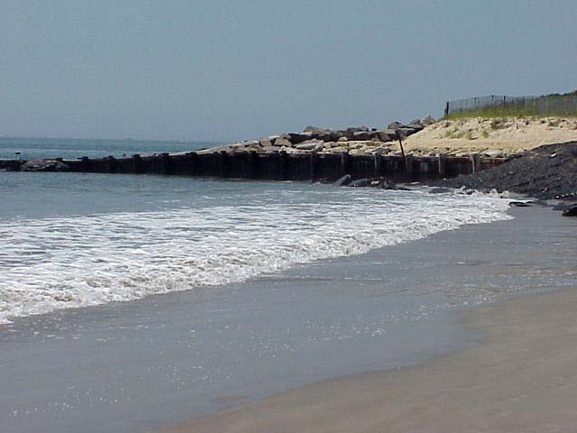
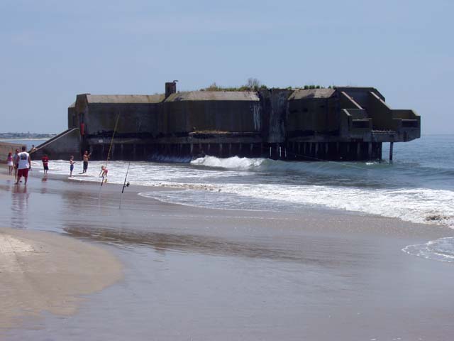
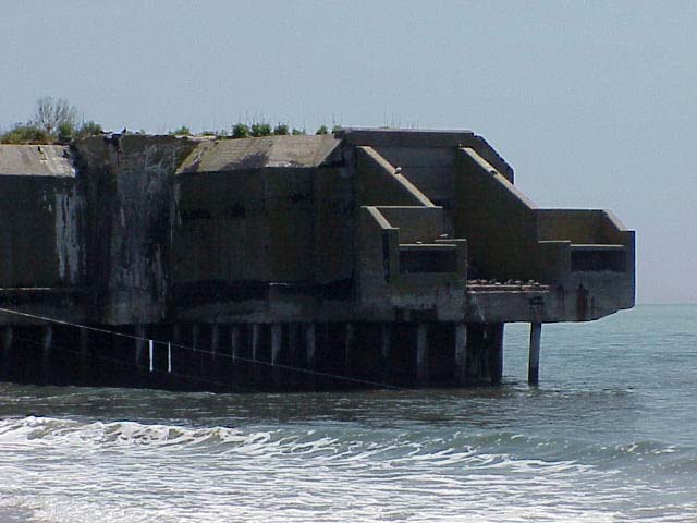
A World War II Bunker also stands on the beach near the base of the
lighthouse. Cape May Point was once a military base and the Bunker was
built as part of the Harbor Defense Project in 1942. At the time of
its construction, the Bunker was 900 feet inland and surrounded by earth
and sod. Littoral drift and ocean currents have changed the coastline
so much that at high tide, the Bunker now stands completely in water.
Click on a thumbnail photo to view a full screen image.
![[Previous]](../../images/back.gif)
![[Next]](../../images/more.gif) Atlantic City | Corson
Inlet | Townsend Inlet | Seven
Mile Beach | Wildwood | Cape
May
Atlantic City | Corson
Inlet | Townsend Inlet | Seven
Mile Beach | Wildwood | Cape
May
Sandy Hook to Holgate | Atlantic City to Cape May
![[Coast Exp logo]](../../images/celogo.jpg)