34 02' 55 N
118 54' 27 W
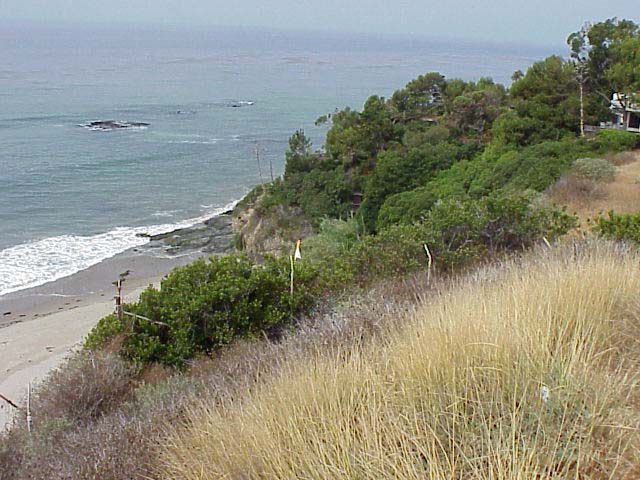
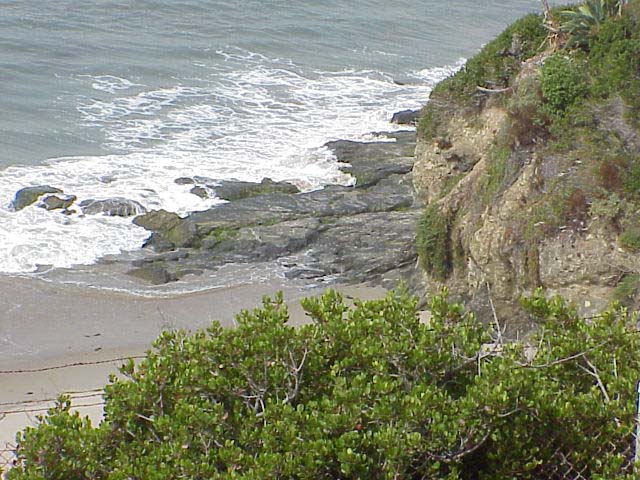
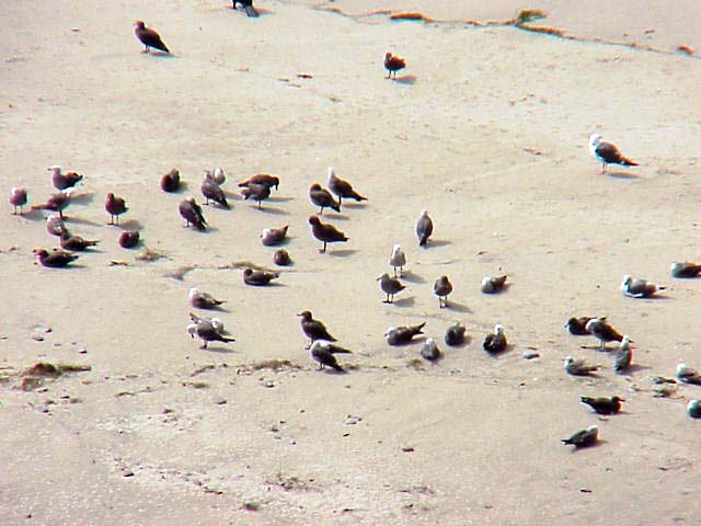
El Pescador is a public beach on the outskirts of Malibu. Beachgoers,
surfers and divers frequently visit the area.
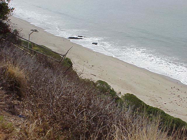
Some houses built directly on the beach and too close to the bluff
face were damaged in storms in 1983. In the upper right hand corner
of the first photo, there is a house that hangs dangerously close to
the edge. Fences have been put up to protect people from falling off
the cliff. However, the fence itself is failing as the cliff retreats.
Click on a thumbnail photo to view a full screen image.
![[Next]](../../images/more.gif)
Santa Barbara | Santa
Barbara Harbor | Shoreline Park
| Arroyo Buro Beach County Park
| Santa Barbara Channel | Santa
Cruz Island | Isla Vista Beach
| Goleta Beach County Park |
El Pescador | Malibu
| Mugu Lagoon Estuary | Sycamore Cove
| Point Dume Beach | Malibu
Bluffs County Park
San Diego Area | Santa
Barbara to Malibu | San
Francisco to Monterey
![[Coast Exp logo]](../../images/celogo.jpg)