34 01' 97 N
118 42' 25 W
Malibu Bluffs County Park is located between the Pacific Coast Highway
and Malibu Road. There is a 1.5 mile long dirt path that leads from
the park to the beach stairways on Malibu Road.
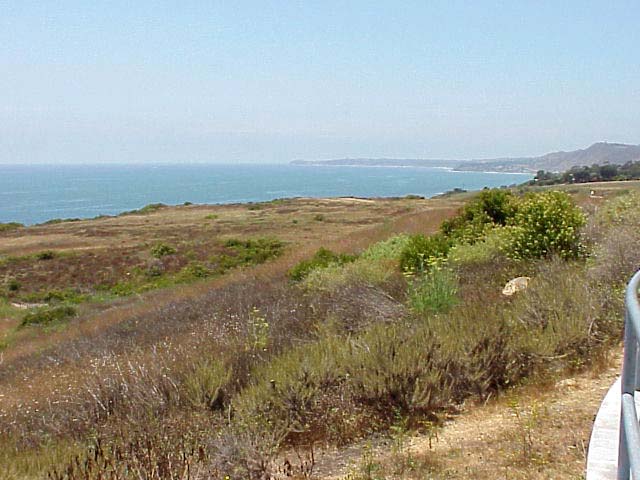
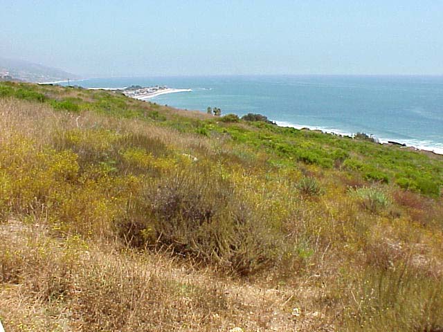
From the top of the bluffs is a panoramic view of the coast from Point
Dume to the north (the first picture) to Malibu Point towards the south
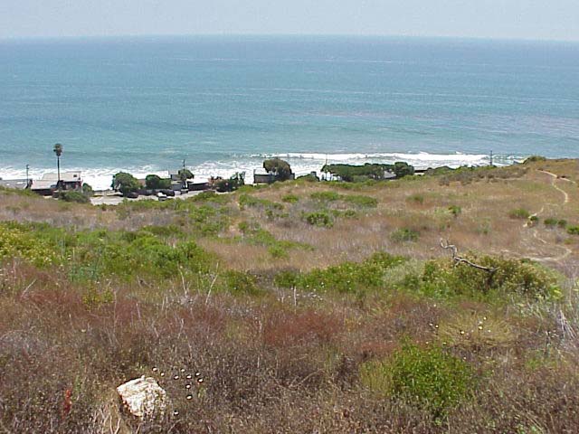
(the third picture). The picture in the center shows houses that have
been built at the base of the bluffs on the ocean side of the road.
Houses built on the beach in this area have protective structures including
rip rap, seawalls and breakwaters that decrease littoral drift that
supply beaches with sand. These structures will affect beach replenishment
to the south, resulting in increased erosion. It is important to consider
what may happen to beaches miles away when deciding to build a structure
along the coast.
Click on a thumbnail photo to view a full screen image.
![[Next]](../../images/more.gif)
Santa Barbara | Santa
Barbara Harbor | Shoreline Park
| Arroyo Buro Beach County Park
| Santa Barbara Channel | Santa
Cruz Island | Isla Vista Beach
| Goleta Beach County Park |
El Pescador | Malibu
| Mugu Lagoon Estuary | Sycamore Cove
| Point Dume Beach | Malibu
Bluffs County Park
San Diego Area | Santa
Barbara to Malibu | San
Francisco to Monterey
![[Coast Exp logo]](../../images/celogo.jpg)