34 23' 77 N
117 42' 44 W
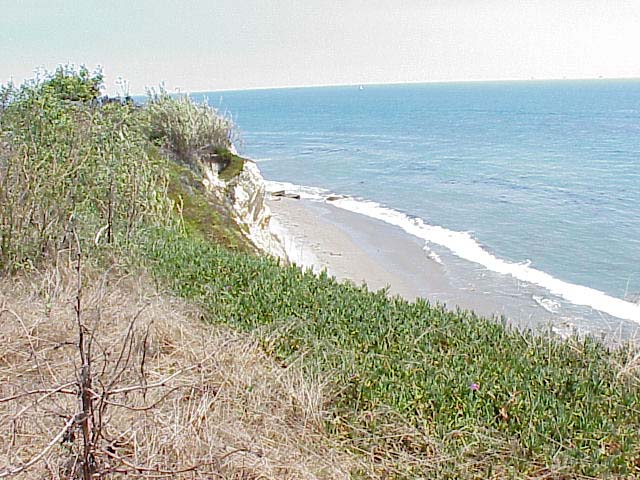
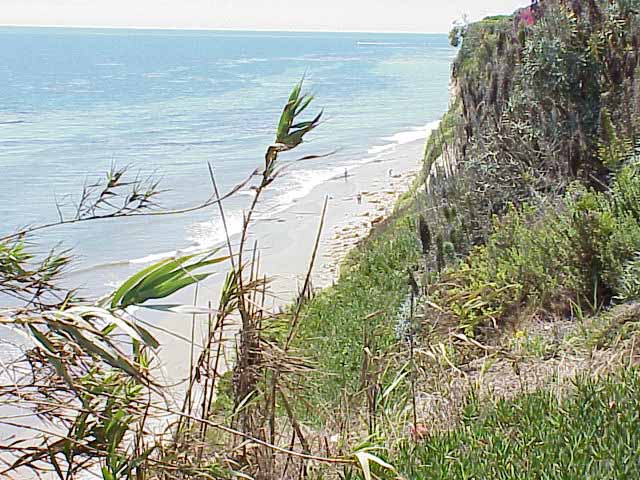
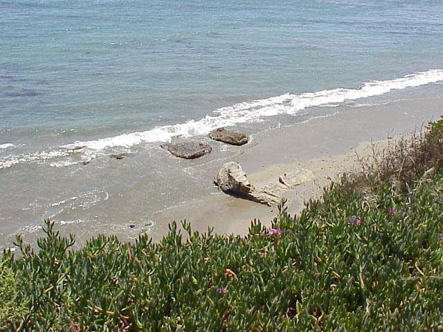
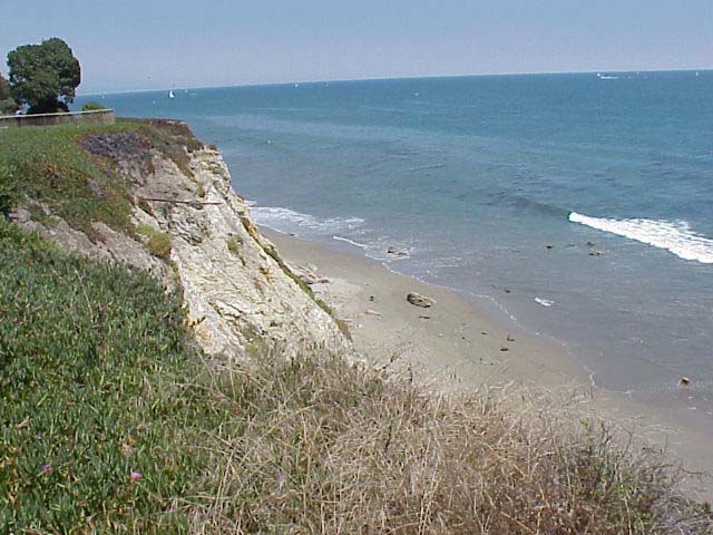
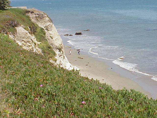
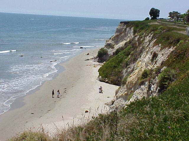
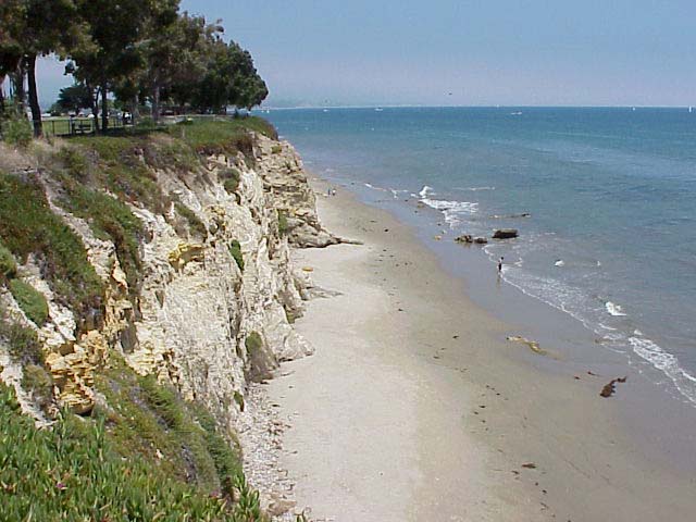
Except for the park perched at the top of the cliff, there are no man
made structures along the beach at Shoreline Park. The green vegetation
growing at the base of the cliff imply that the cliffs are relatively
stable... for now.
Click on a thumbnail photo to view a full screen image.
Santa Barbara | Santa
Barbara Harbor | Shoreline Park
| Arroyo Buro Beach County Park
| Santa Barbara Channel | Santa
Cruz Island | Isla Vista Beach
| Goleta Beach County Park |
El Pescador | Malibu
| Mugu Lagoon Estuary | Sycamore Cove
| Point Dume Beach | Malibu
Bluffs County Park
San Diego Area | Santa
Barbara to Malibu | San
Francisco to Monterey
![[Coast Exp logo]](../../images/celogo.jpg)