34 04' 31 N
119 51' 56 W
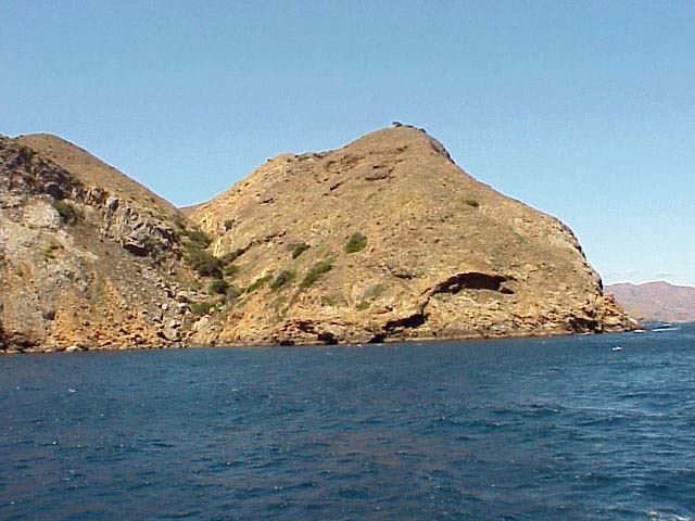
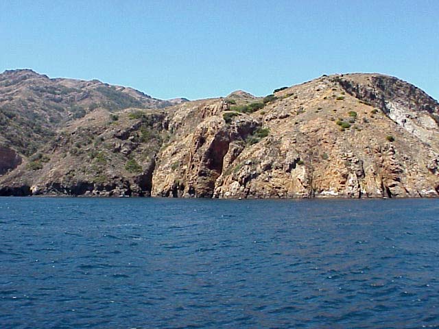
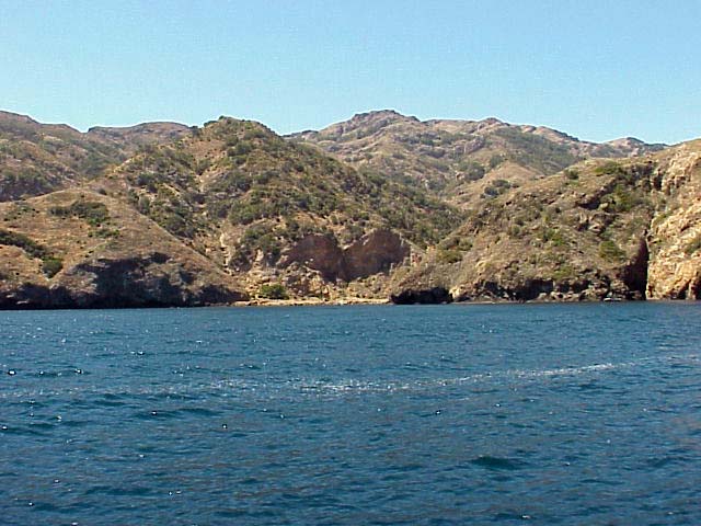
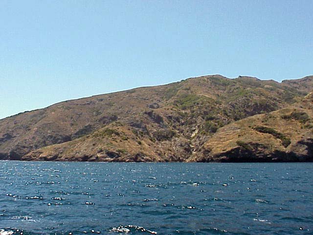
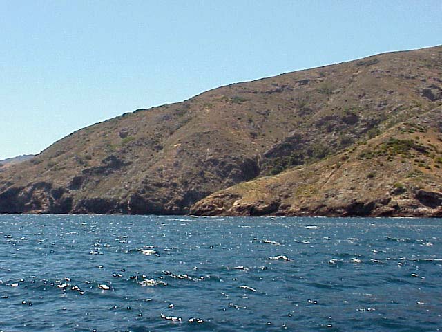
Santa Cruz Island is the largest island off the coast of California.
At 96 square miles, it is nearly 4 times the size of Manhattan. It is
about 19-25 miles from the mainland roughly between Ventura and Santa
Barbara.
Geologists believe that the island was never part of the mainland.
The three main categories of rock--sedimentary, metamorphic and igneous--exist
here. Two mountain ranges, above 2000 feet, flank a central valley.
This central valley continues to form from an active fault. Other geologic
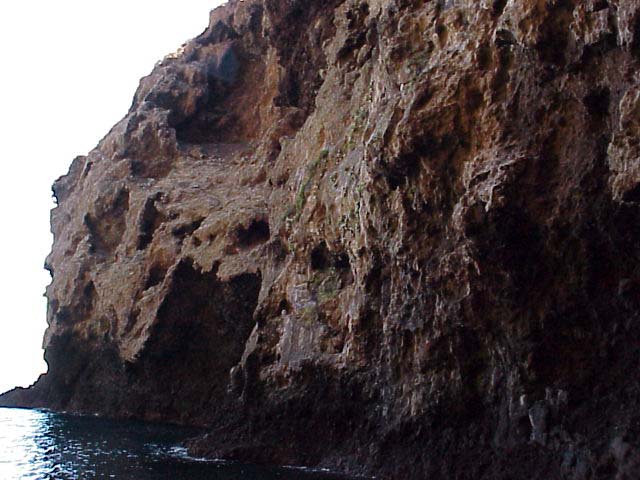
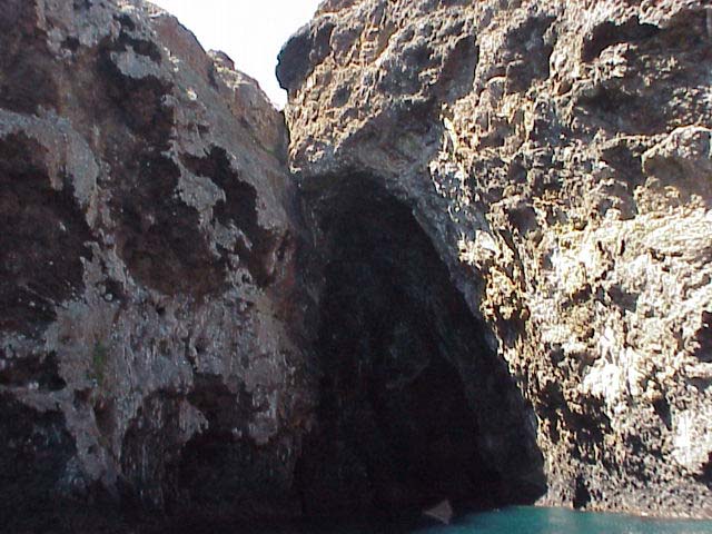
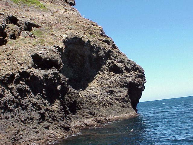
formations that can be found on the island are year round streams and
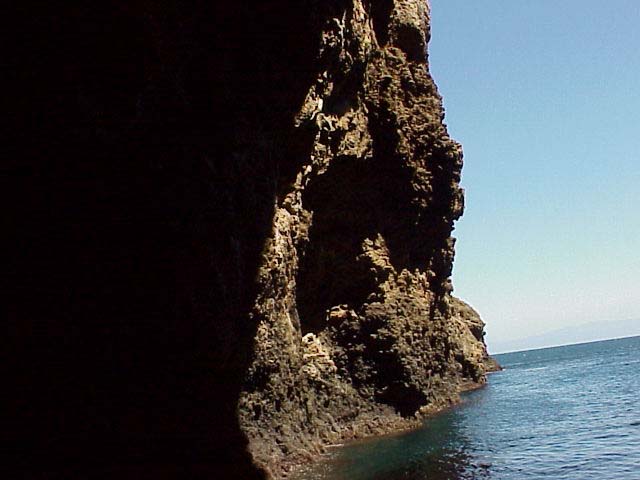
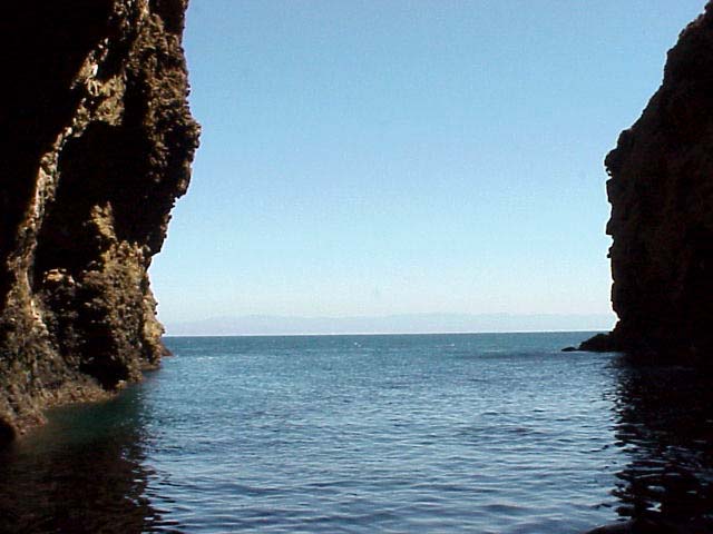
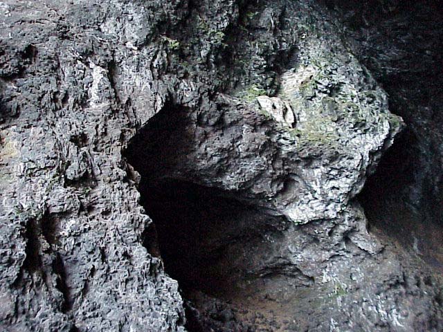
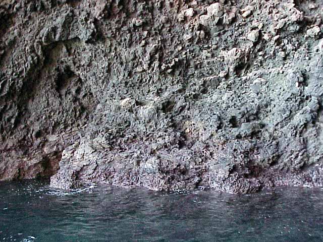
springs, sea caves, tidepools, and beaches. The Painted Cave, the largest
known sea cave in the world has an impressive 160 foot entrance ceiling.
The cave is nearly a quarter of a mile long, and 100 feet wide. The
cave, named for its colorful rocks, lichens and algae, also has a breathtaking
waterfall at its entrance. Below are some of the rock formations found
on the island.
 Movie (1.2 MB)
Movie (1.3 MB)
Click on a thumbnail photo to view a full screen image.
![[Next]](../../images/more.gif)
Santa Barbara | Santa
Barbara Harbor | Shoreline Park
| Arroyo Buro Beach County Park
| Santa Barbara Channel | Santa
Cruz Island | Isla Vista Beach
| Goleta Beach County Park |
El Pescador | Malibu
| Mugu Lagoon Estuary | Sycamore Cove
| Point Dume Beach | Malibu
Bluffs County Park
San Diego Area | Santa
Barbara to Malibu | San
Francisco to Monterey
![[Coast Exp logo]](../../images/celogo.jpg)