34 24' 84 N
119 41' 11 W
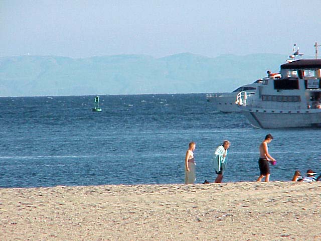
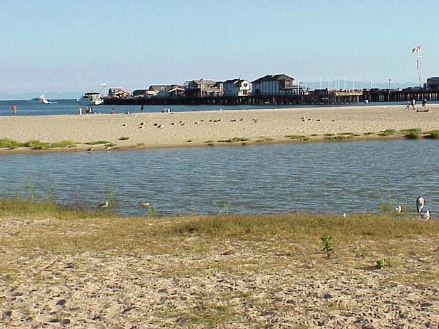
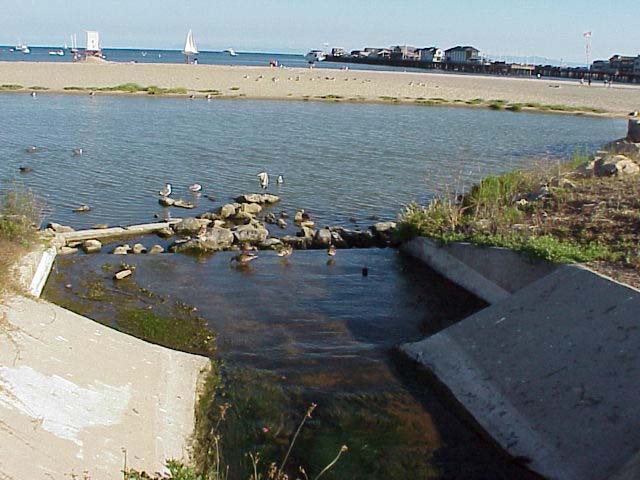
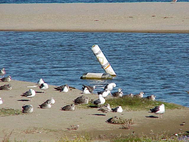
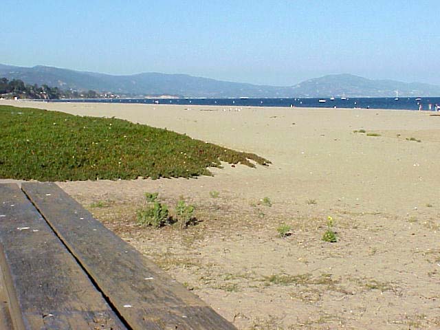
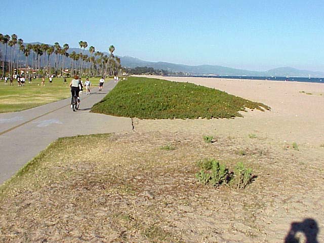
From the beach at Santa Barbara, on an unusually clear day, the faint
outline of Santa Cruz Island can be seen in the distance. An outfall,
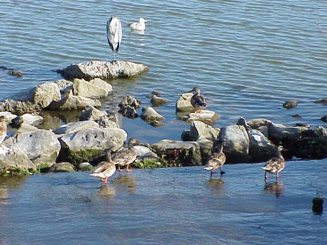
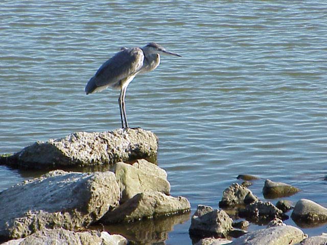
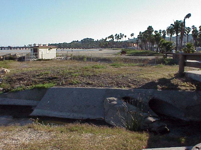
constructed to carry the runoff from the city to the ocean, creates
a small lagoon for sea birds to wade in.
Click on a thumbnail photo to view a full screen image.
Santa Barbara | Santa
Barbara Harbor | Shoreline Park
| Arroyo Buro Beach County Park
| Santa Barbara Channel | Santa
Cruz Island | Isla Vista Beach
| Goleta Beach County Park |
El Pescador | Malibu
| Mugu Lagoon Estuary | Sycamore Cove
| Point Dume Beach | Malibu
Bluffs County Park
San Diego Area | Santa
Barbara to Malibu | San
Francisco to Monterey
![[Coast Exp logo]](../../images/celogo.jpg)