34 24' 45 N
119 41' 46 W
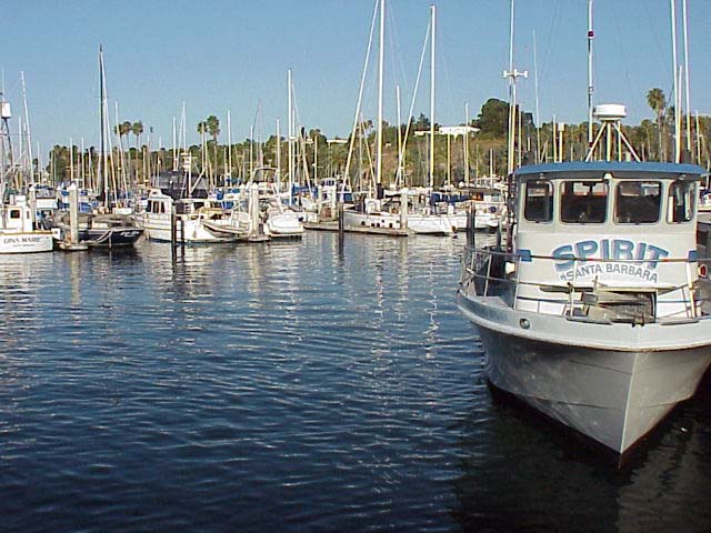
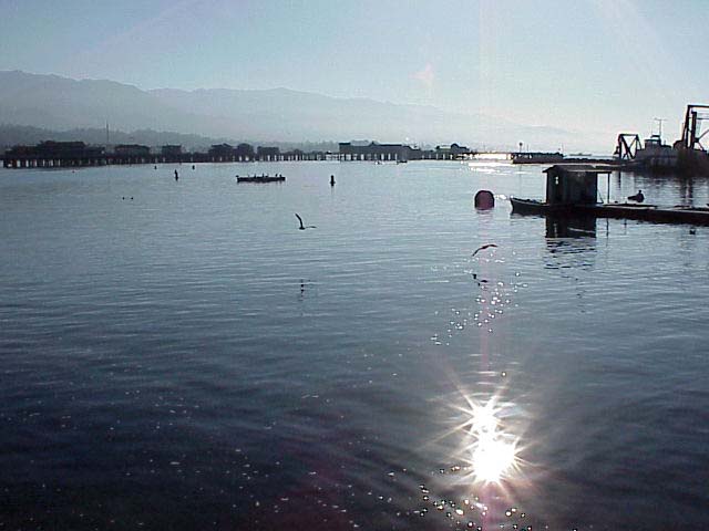
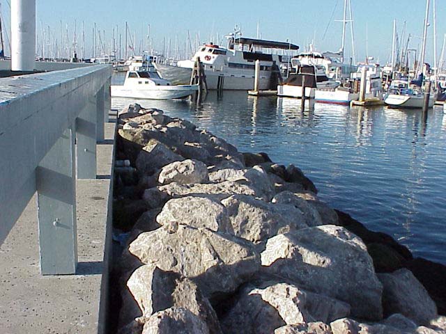
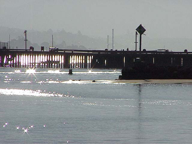
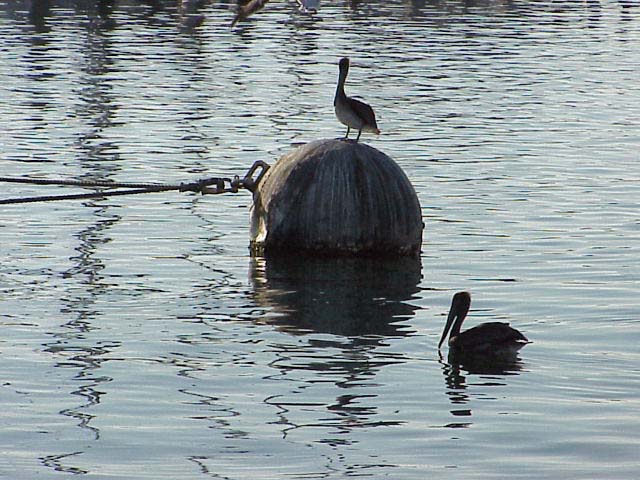
The Santa Barbara Harbor creates an area safe from rough waves and
currents. People can safely dock in the harbor. Prior to 1920, any sea
vessels calling at Santa Barbara were at the mercy of the weather and
rough seas. Against the recommendation of the Army Corps of Engineers,
an L shaped breakwater was constructed to form the Santa Barbara Harbor.
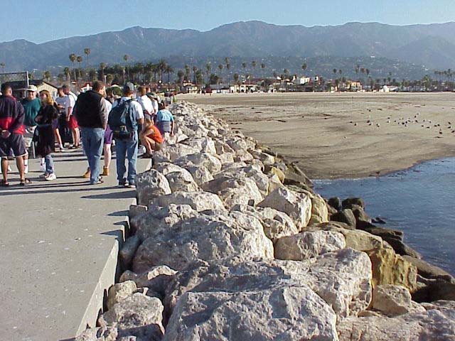
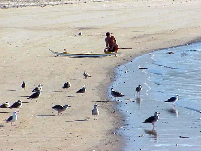
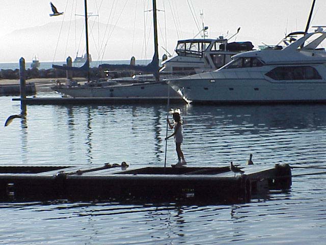
Click on a thumbnail photo to view a full screen image.
![[Next]](../../images/more.gif)
Santa Barbara | Santa
Barbara Harbor | Shoreline Park
| Arroyo Burro Beach County Park
| Santa Barbara Channel | Santa
Cruz Island | Isla Vista Beach
| Goleta Beach County Park |
El Pescador | Malibu
| Mugu Lagoon Estuary | Sycamore
Cove | Point Dume Beach | Malibu
Bluffs County Park
San Diego Area | Santa
Barbara to Malibu | San
Francisco to Monterey
![[Coast Exp logo]](../../images/celogo.jpg)