34 23' 03 N
119 41' 54 W
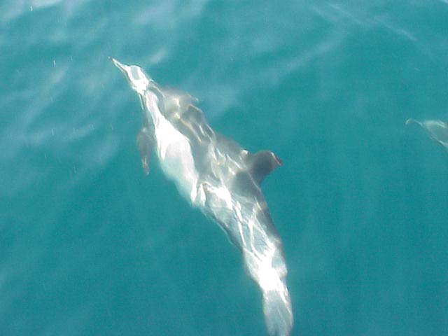
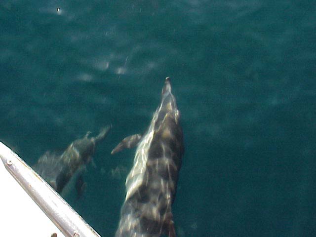
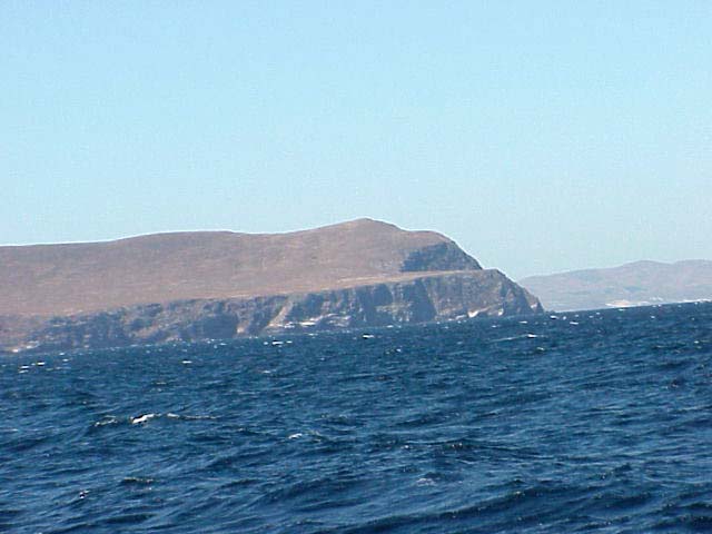
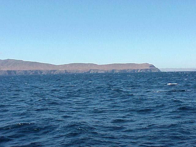
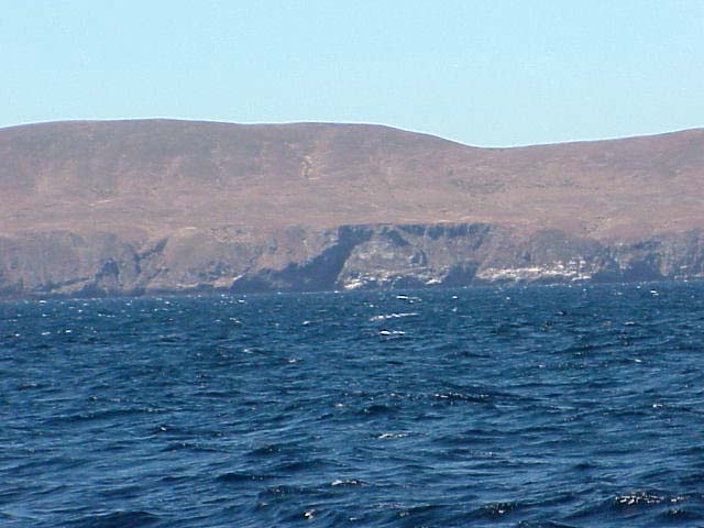
The Santa Barbara Channel is a narrow passage of water that flows between
the Santa Barbara coastline and three islands just off the coast. Cold
currents from the north mix with warm currents from the south creating
upwellings of very high nutrient loads. These types of areas are valuable
feeding zones for animals like the dolphins you see below. The island
you see is Santa Cruz Island.
 Movie (476 K)
Movie (1.3 MB)
Click on a thumbnail photo to view a full screen image.
Santa Barbara | Santa
Barbara Harbor | Shoreline Park
| Arroyo Burro Beach County Park
| Santa Barbara Channel | Santa
Cruz Island | Isla Vista Beach
| Goleta Beach County Park |
El Pescador | Malibu
| Mugu Lagoon Estuary | Sycamore
Cove | Point Dume Beach | Malibu
Bluffs County Park
San Diego Area | Santa
Barbara to Malibu | San
Francisco to Monterey
![[Coast Exp logo]](../../images/celogo.jpg)