34 24' 45 N
119 41' 46 W
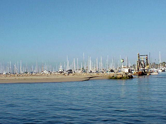
The coastine of Santa Barbara runs east and west, unlike most other
parts of the California coastline that are oriented north to south.
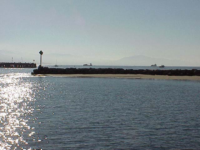
Since the current and waves enter the Santa Barbara channel from the
west, sand transport mostly originates from the west. Wintertime storms
strip the narrow beaches of most of their sand, while summer littoral
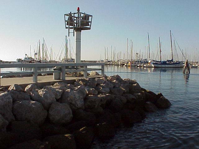
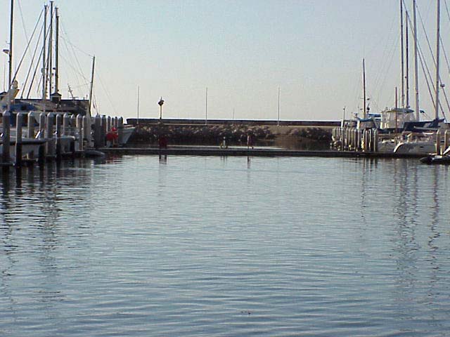
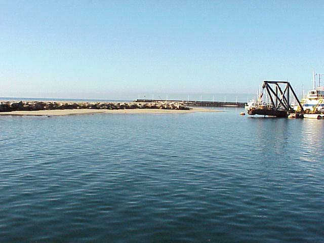
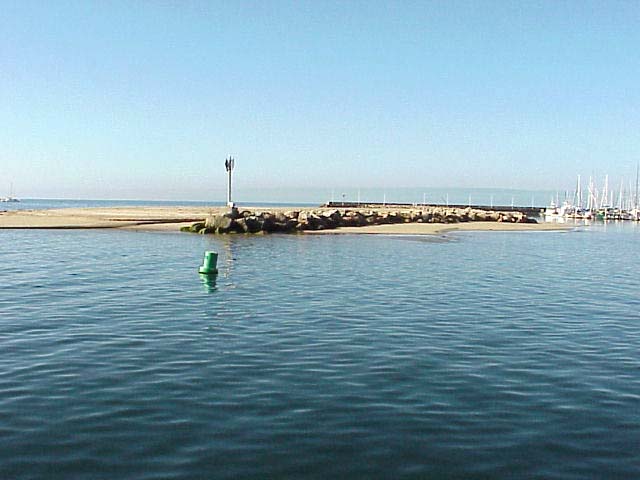
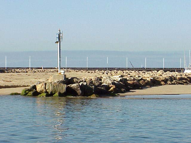
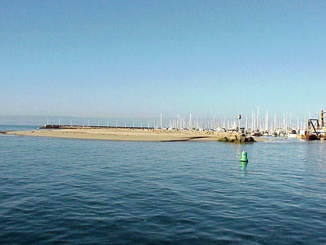
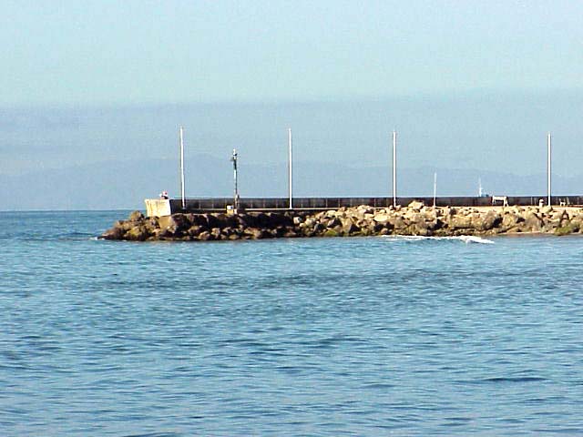
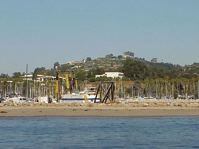
drift replenishes them. When the breakwater to the harbor was constructed,
the westward littoral drift was blocked, and sand immediately began
to build up against the west side of the breakwater. As sand built up
and widened the beaches west of the breakwater, beaches as far as 13
miles east of the harbor suffered from varying degrees of erosion.
When the beaches on the west became completely filled, sand began to
move along the outer arm of the breakwater and into the harbor. On several
occasions, sand accumulation has been so great that it has completely
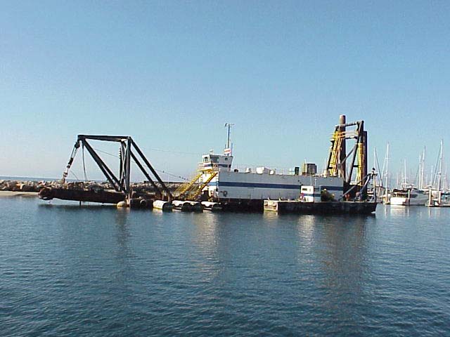
blocked the harbor entrance. So far, dredging has been the only solution.
In the past 70 years, the harbor has been dredged continuously, costing
the city millions of dollars in recent years.
 Movie (1.3 MB)
Click on a thumbnail photo to view a full screen image.
![[Previous]](../../images/back.gif)
![[Next]](../../images/more.gif)
Santa Barbara | Santa
Barbara Harbor | Shoreline Park
| Arroyo Burro Beach County Park
| Santa Barbara Channel | Santa
Cruz Island | Isla Vista Beach
| Goleta Beach County Park |
El Pescador | Malibu
| Mugu Lagoon Estuary | Sycamore
Cove | Point Dume Beach | Malibu
Bluffs County Park
San Diego Area | Santa
Barbara to Malibu | San
Francisco to Monterey
![[Coast Exp logo]](../../images/celogo.jpg)